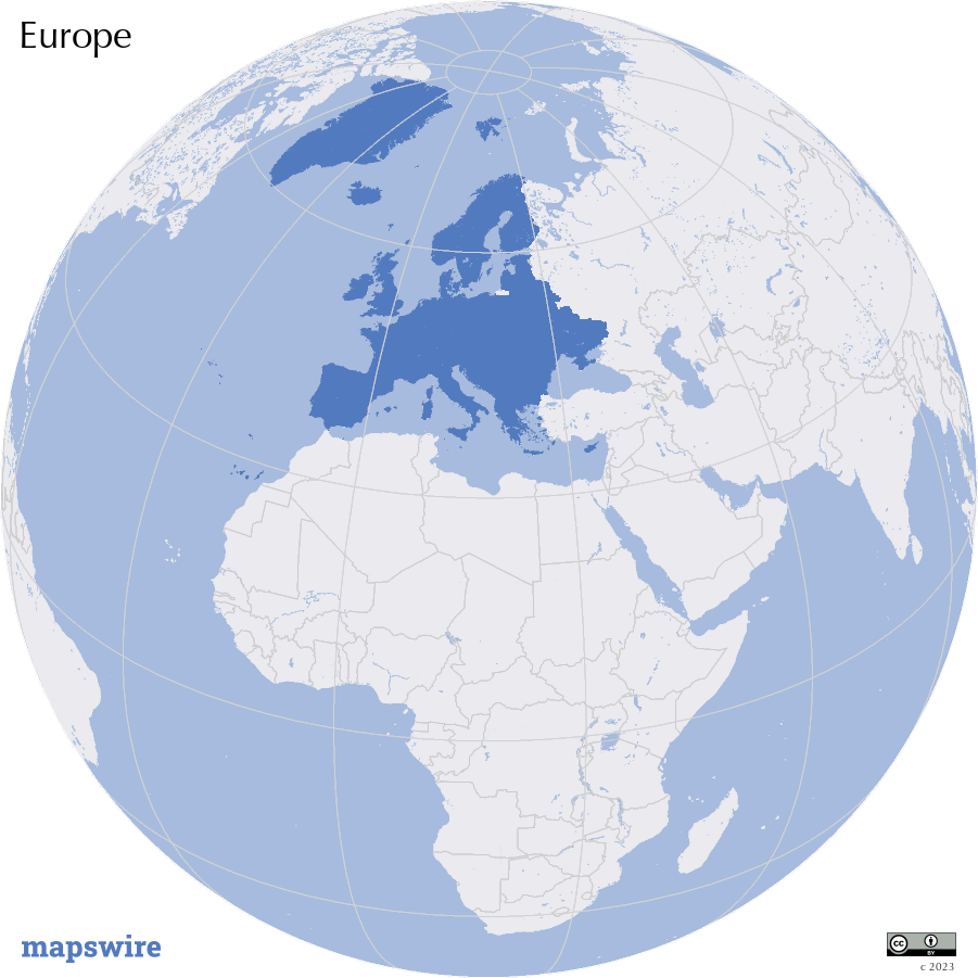
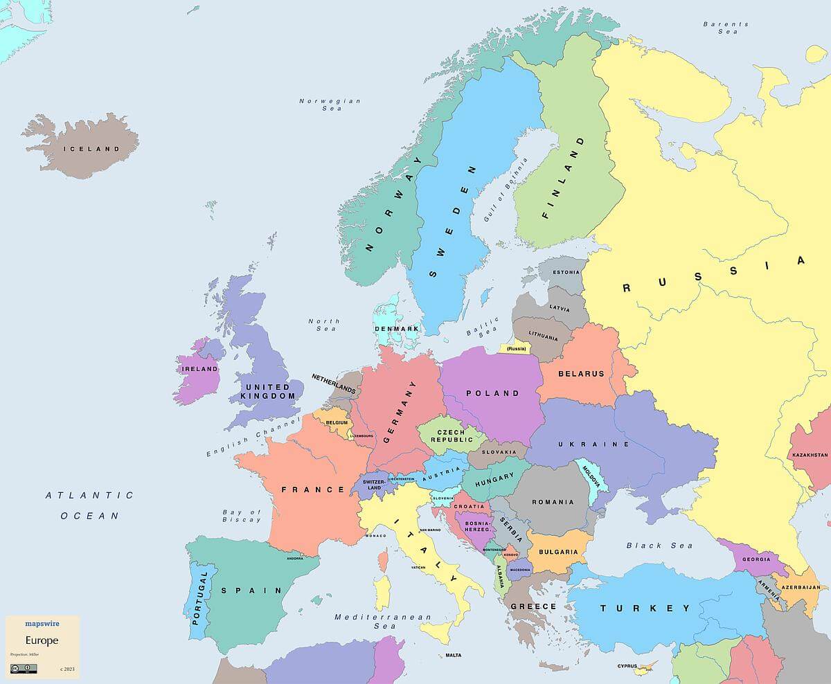
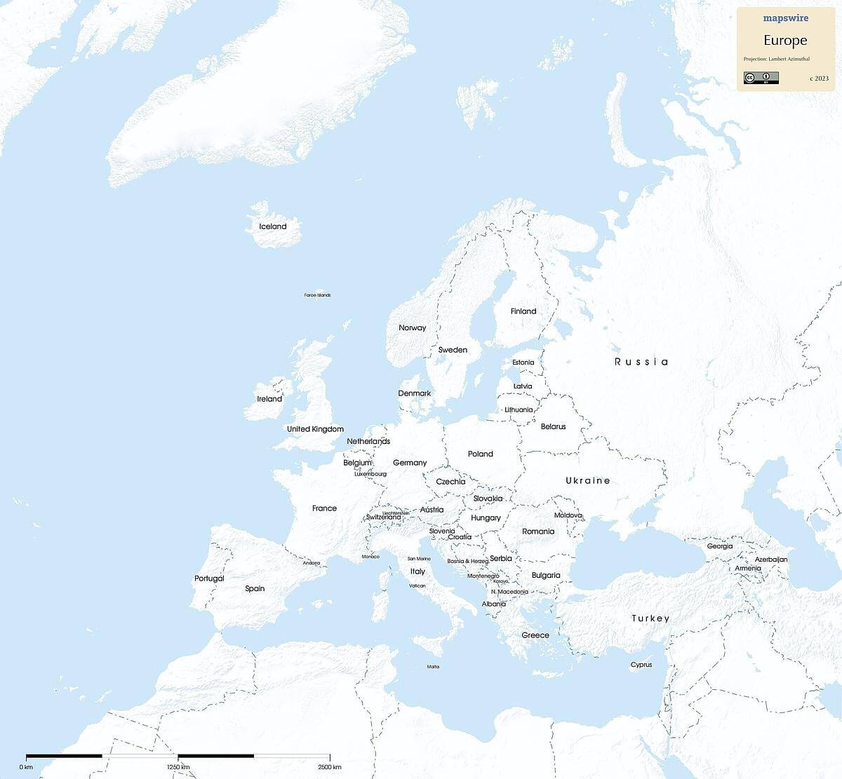
Free Maps of Europe
Download eleven maps of Europe for free on this page. The maps are provided under a Creative Commons (CC-BY 4.0) license. Use the "Download" button to get the largest image available.

- More Pages with Maps of Europe
- Political Maps of Europe
- Physical Maps of Europe
- Countries in Europe
- France
- Germany
- Greece
- Ireland
- Italy
- Spain
- Switzerland
- Ukraine
- United Kingdom
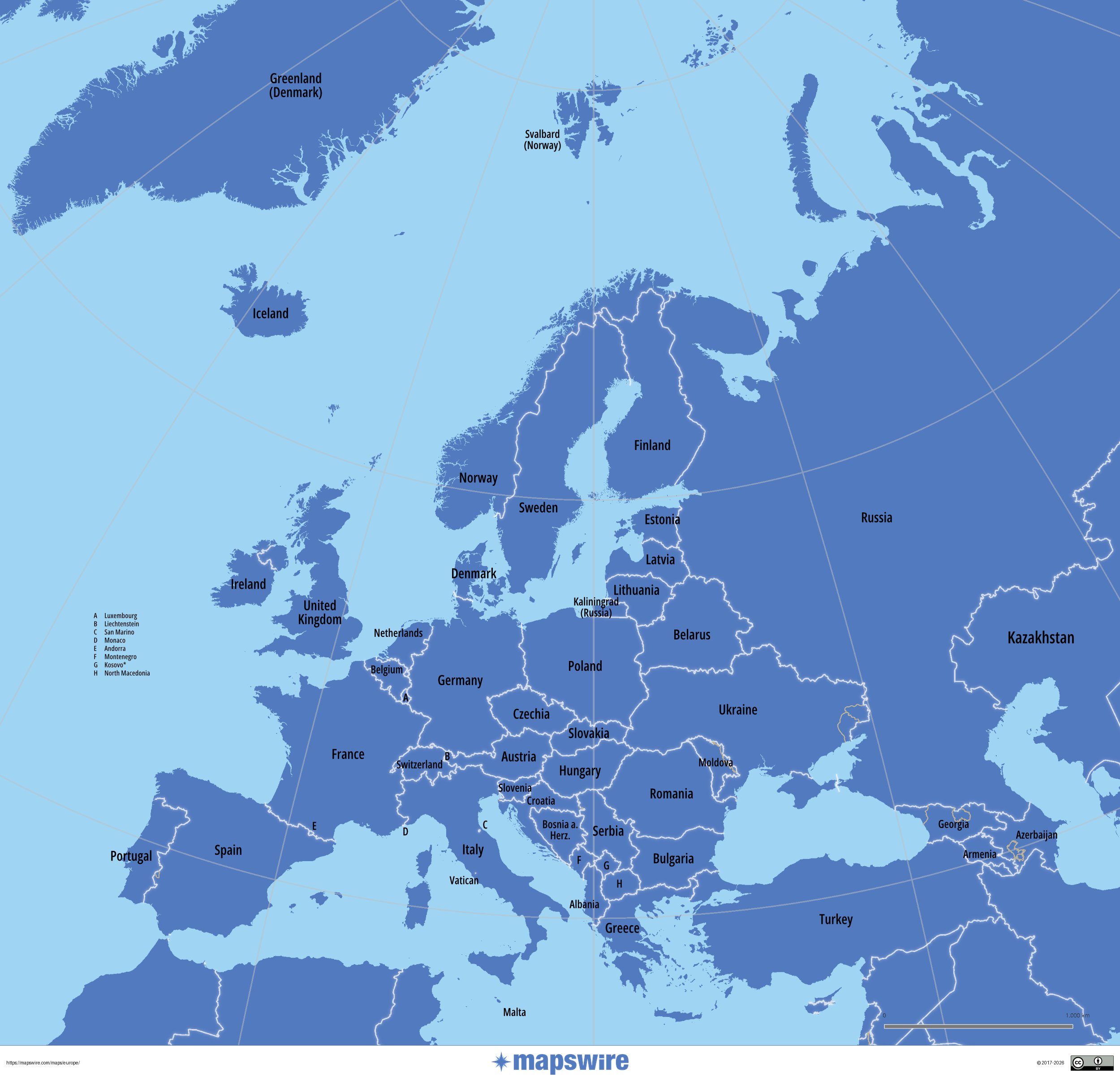
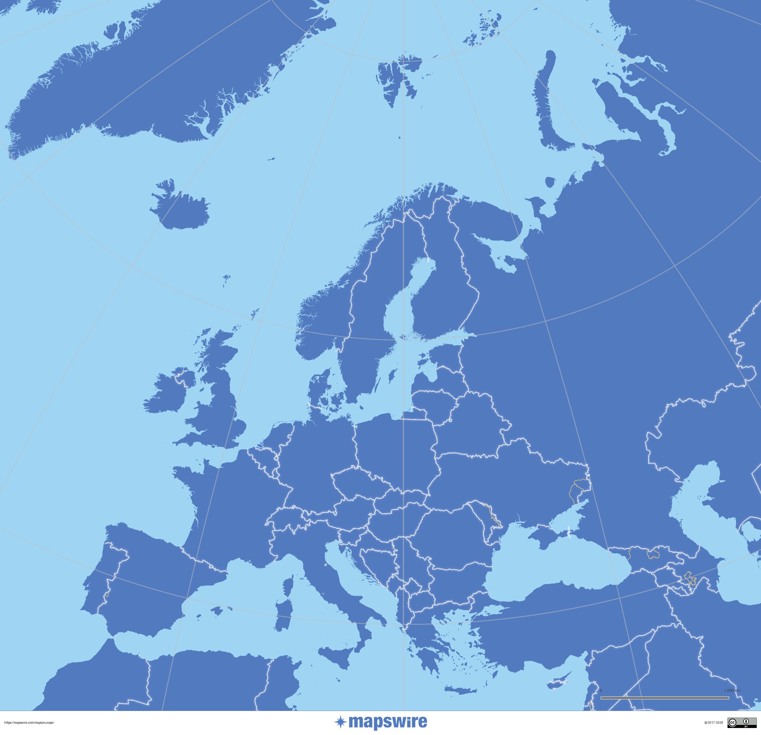
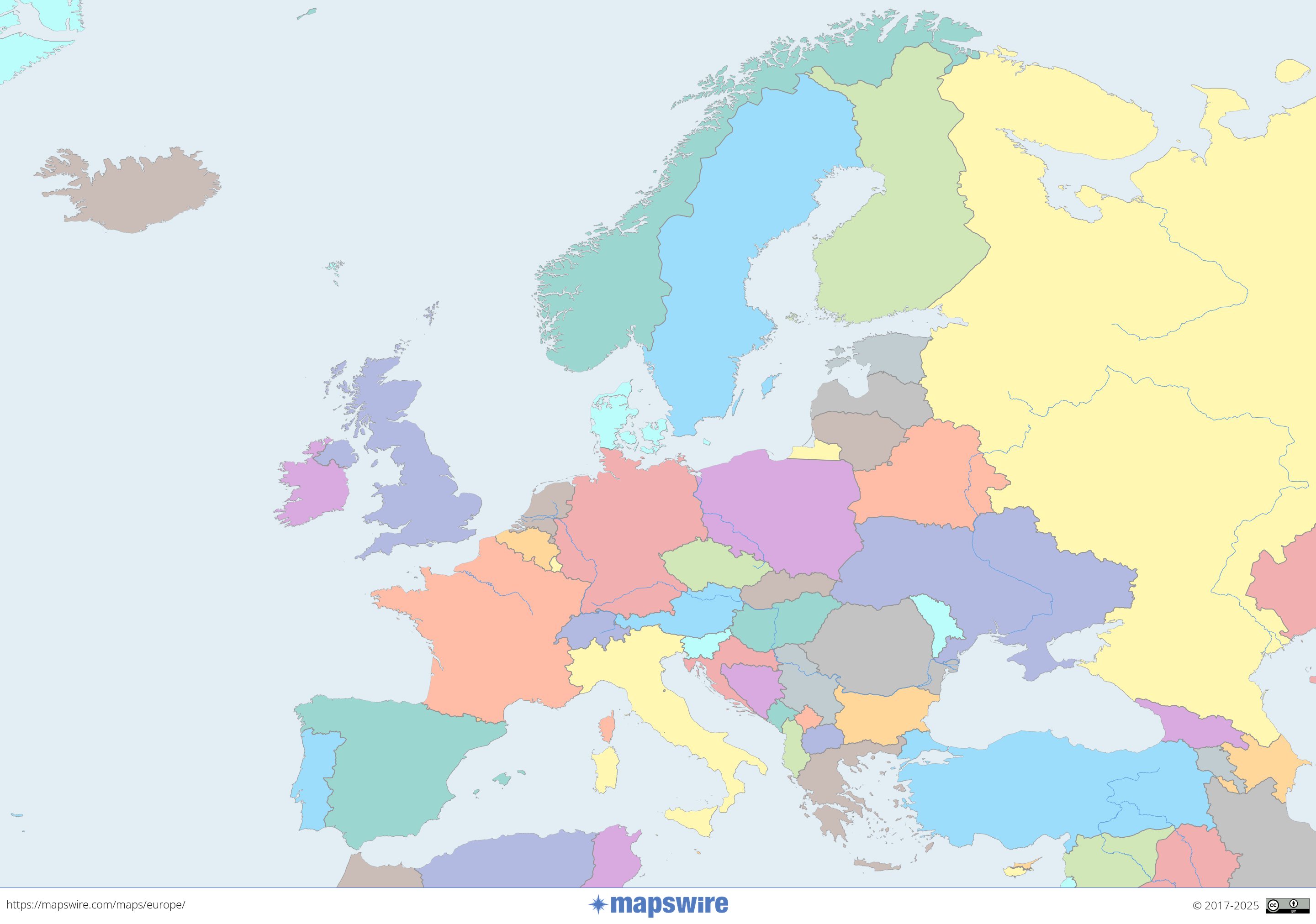
Political Maps of Europe
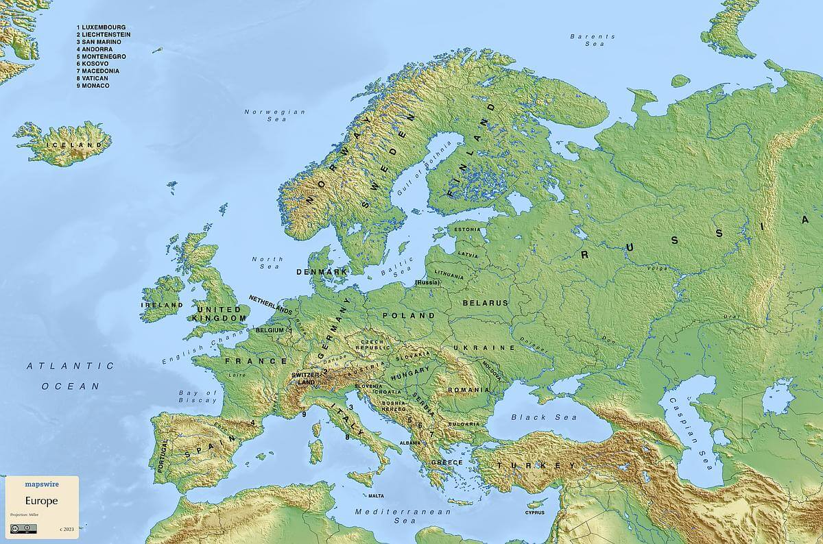
Physical Maps of Europe

Printable Maps of Europe

Other Maps of Europe