Free Maps of the United States
Download eight maps of the United States for free on this page. The maps are provided under a Creative Commons (CC-BY 4.0) license. Use the "Download" button to get the largest image available.
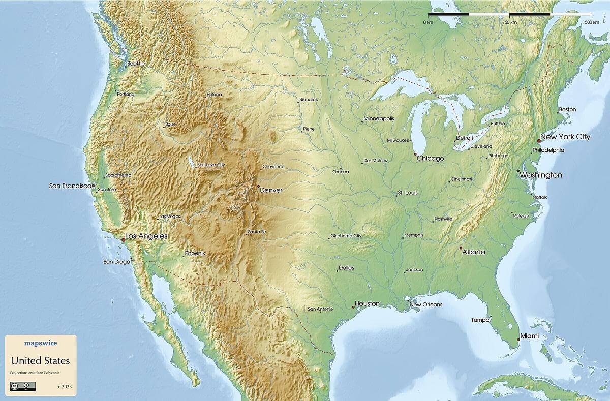
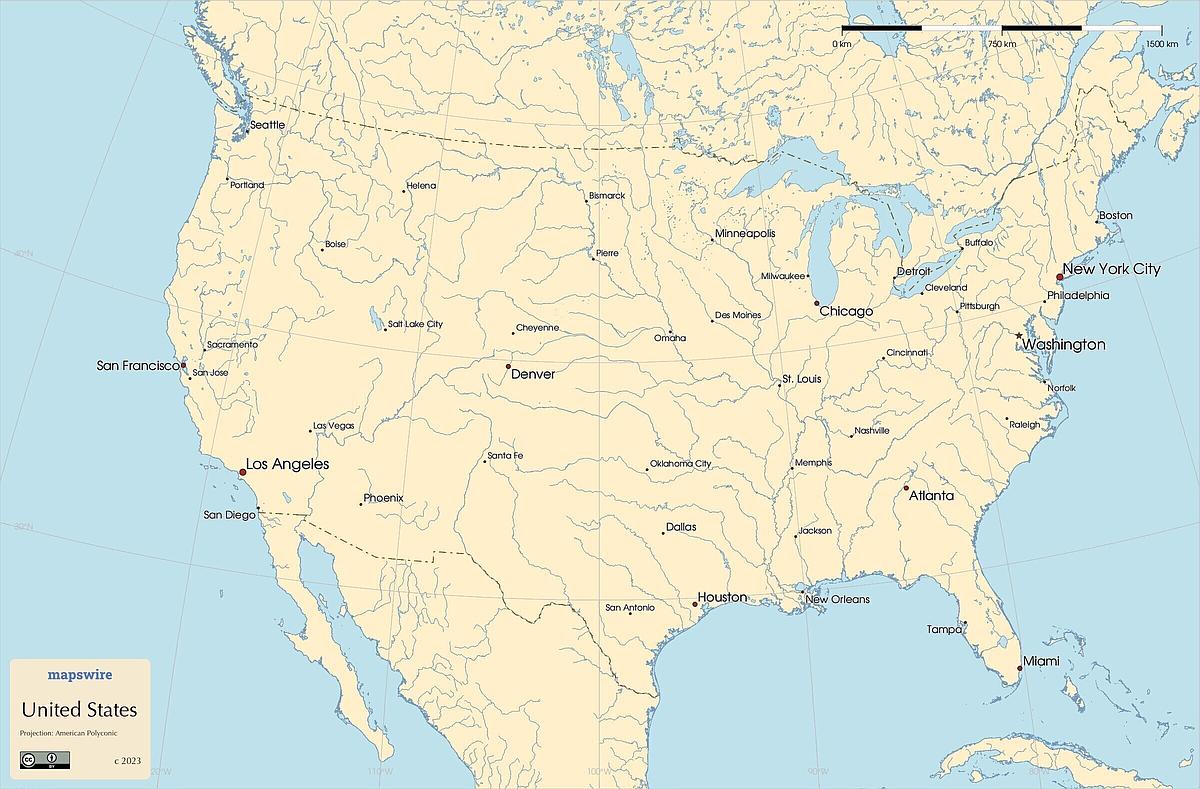
Topographic Map
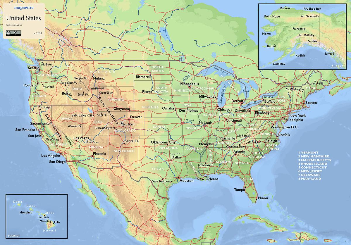
This topographic map shows the main features, cities and roads of the United States.
| Informations about the United States | |
|---|---|
| Name | United States of America |
| Capital | Washington, DC |
| National holiday | Independence Day, 4 July (1776) |
| Population | 337,341,954 |
| Continent | North America |
| Subregion | Northern America |
| Border countries | Canada 8,891 km (including 2,475 km with Alaska); Mexico 3,111 km |
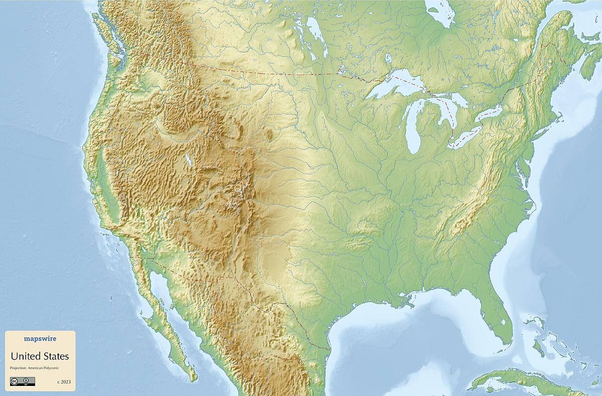
Physical Maps of the United States
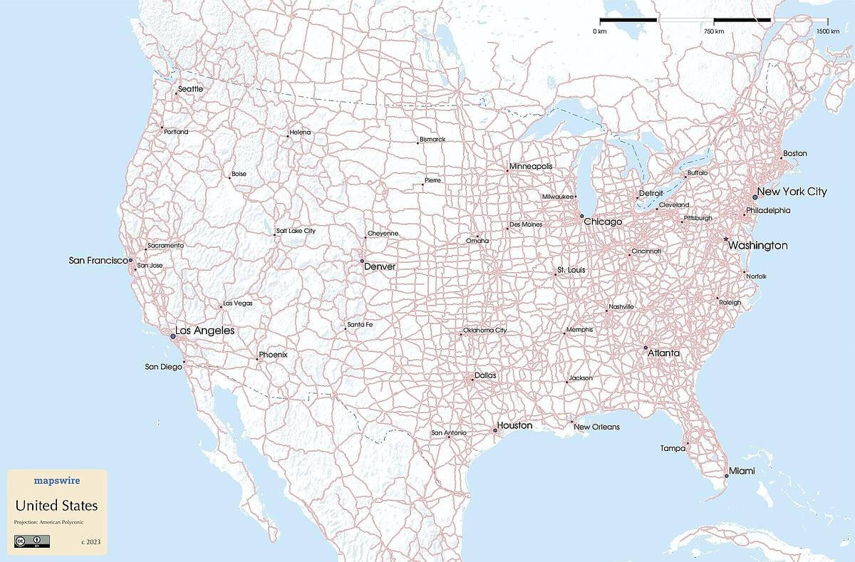
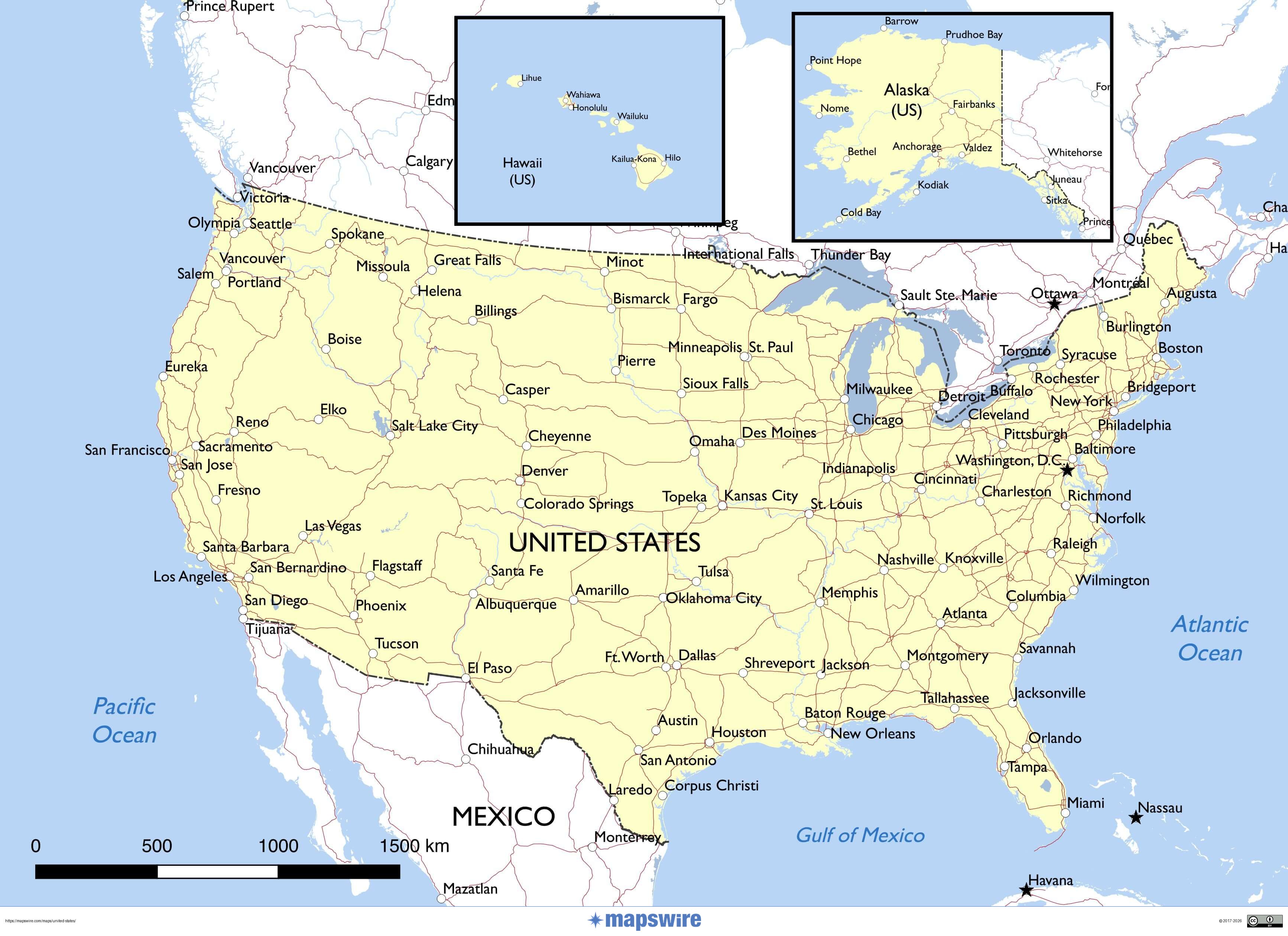
Printable Maps of the United States
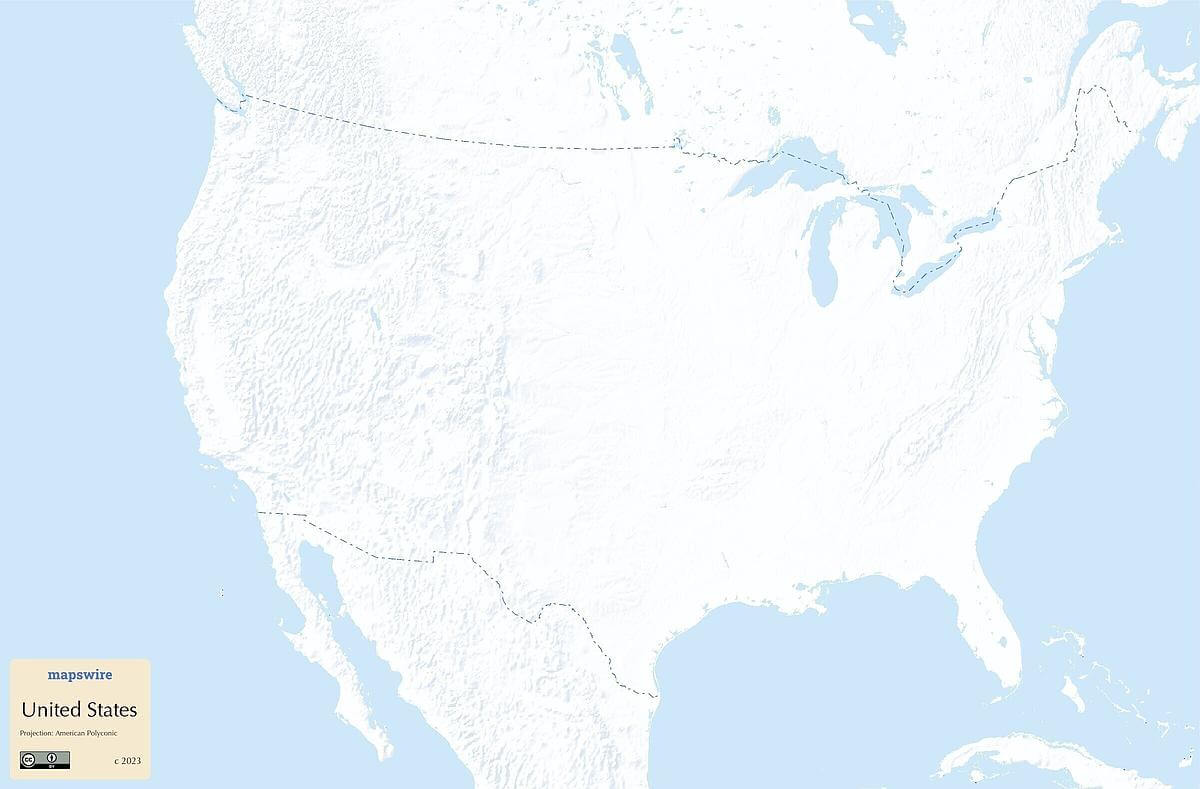
Other Maps of the United States
Where are the United States located?
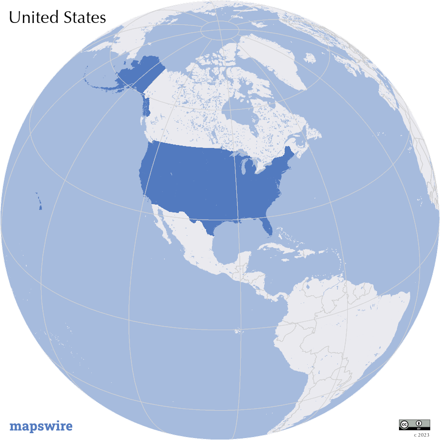
Location
North America, bordering both the North Atlantic Ocean and the North Pacific Ocean, between Canada and Mexico
Download