Free Maps of Italy
Download six maps of Italy for free on this page. The maps are provided under a Creative Commons (CC-BY 4.0) license. Use the "Download" button to get the largest image available.

| Informations of Italy | |
|---|---|
| Name | Italian Republic |
| Capital | Rome |
| National holiday | Republic Day, 2 June (1946) |
| Population | 61,095,551 |
| Continent | Europe |
| Subregion | Southern Europe |
| Border countries | Austria 404 km; France 476 km; Holy See (Vatican City) 3.4 km; San Marino 37 km; Slovenia 218 km; Switzerland 698 km |
Physical Maps of Italy

Printable Maps of Italy


Other Maps of Italy

Where is Italy located?
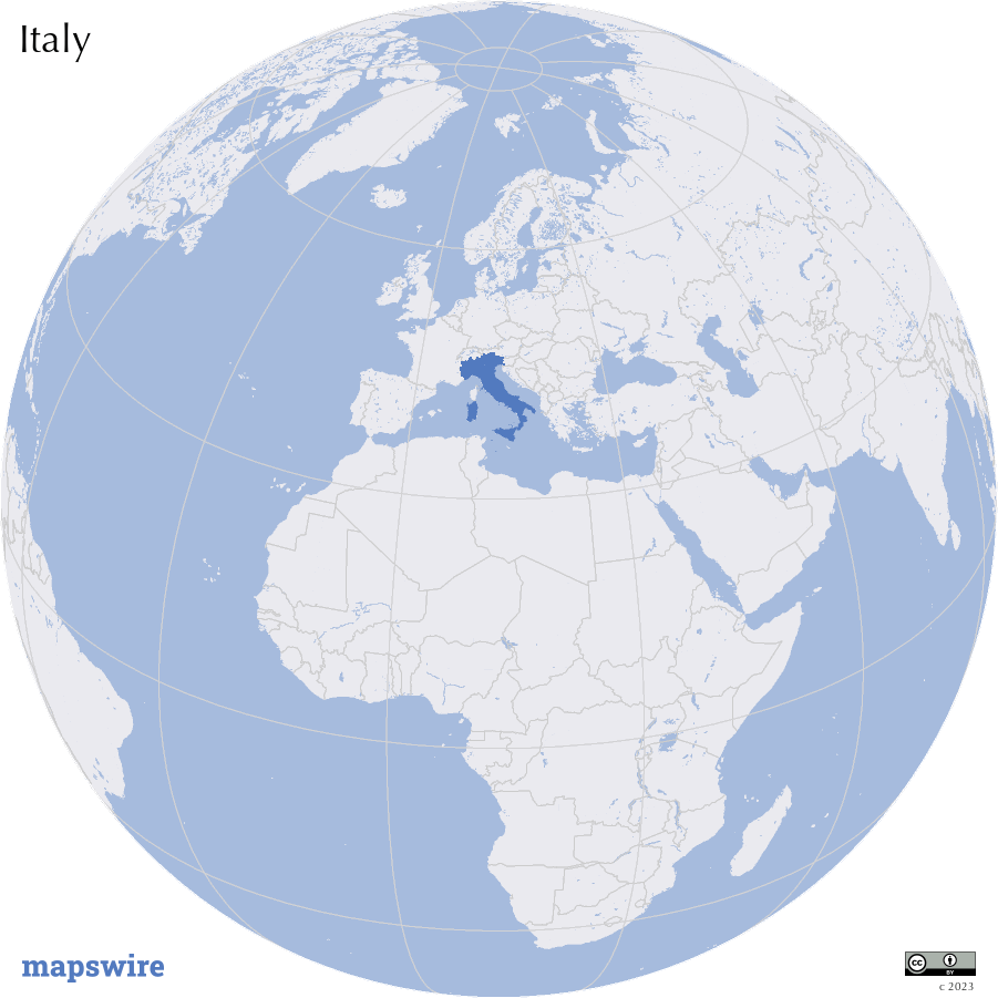
Location
Southern Europe, a peninsula extending into the central Mediterranean Sea, northeast of Tunisia
DownloadGeography of Italy
Mountain Ranges and Peaks
The Alps dominate Italy's northern border, with iconic peaks like Monte Bianco (Mont Blanc) and Cervino (Matterhorn). The Apennine Mountains run down the length of the Italian peninsula, featuring various peaks and valleys.
Volcanic Regions
Italy is home to several active and dormant volcanoes. The Mount Etna in Sicily is one of the most active in the world, while Vesuvius near Naples famously erupted in AD 79, burying Pompeii and Herculaneum.
Rivers and Lakes
The Po River flows through the fertile Po Valley in northern Italy, providing a significant water source for agriculture. Italy also boasts several lakes, including the Lake Como, Lake Garda, and Lake Maggiore.
Coastlines and Islands
Italy has extensive coastlines along the Mediterranean Sea. The Amalfi Coast and the Cinque Terre are renowned for their stunning coastal landscapes. Off the coast, islands like Sicily and Sardinia add to Italy's diverse geography.
Tuscany and Hills
Central Italy is characterized by the picturesque rolling hills of Tuscany, known for its vineyards and historic towns like Florence and Siena.