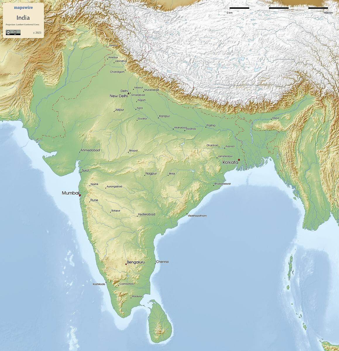
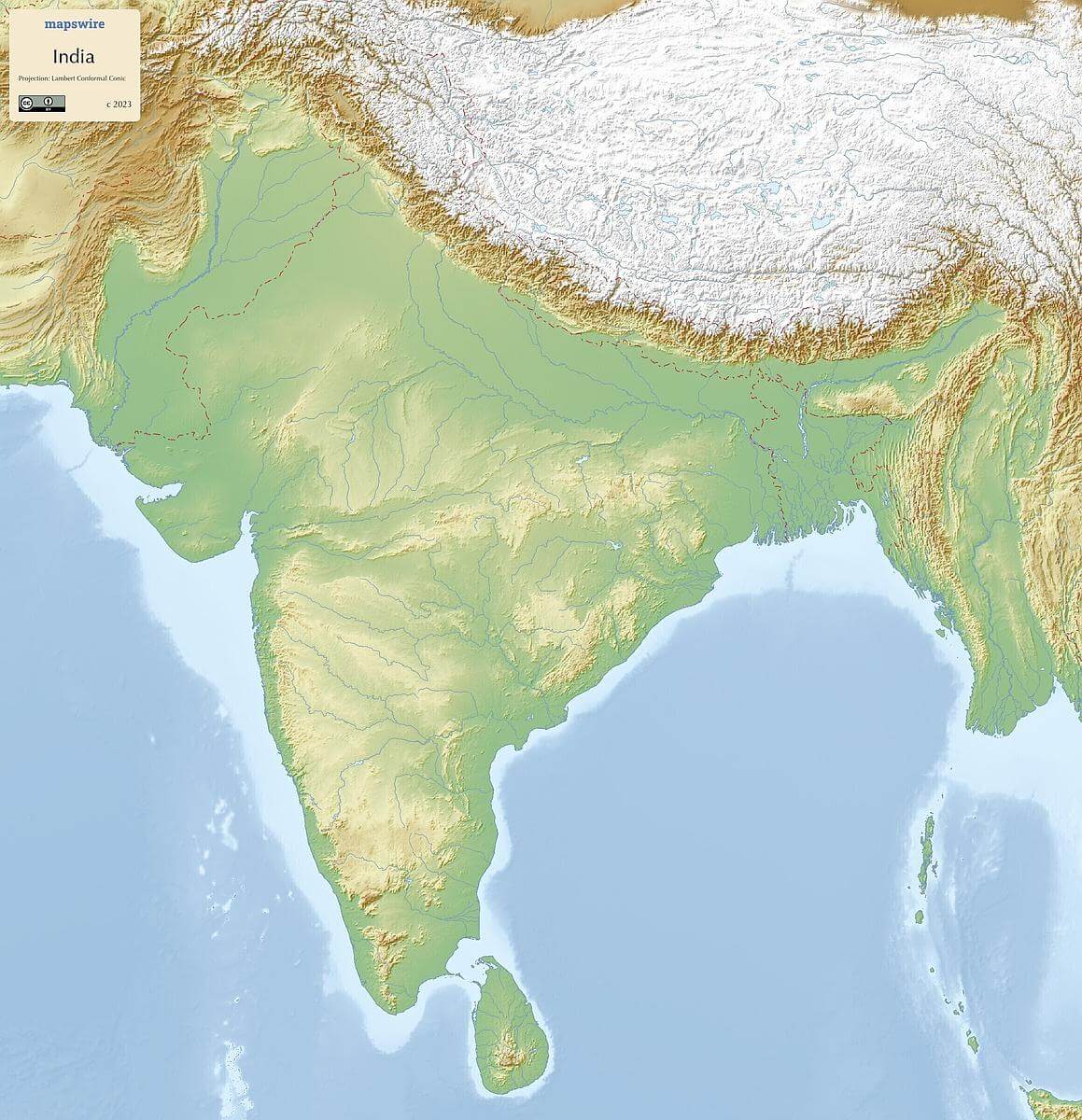
Free Maps of India
Download six maps of India for free on this page. The maps are provided under a Creative Commons (CC-BY 4.0) license. Use the "Download" button to get the largest image available.
| Informations of India | |
|---|---|
| Name | Republic of India |
| Capital | New Delhi |
| National holiday | Republic Day, 26 January (1950) |
| Population | 1,389,637,446 |
| Continent | Asia |
| Subregion | Southern Asia |
| Border countries | Bangladesh 4,142 km; Bhutan 659 km; Burma 1,468 km; China 2,659 km; Nepal 1,770 km; Pakistan 3,190 km |
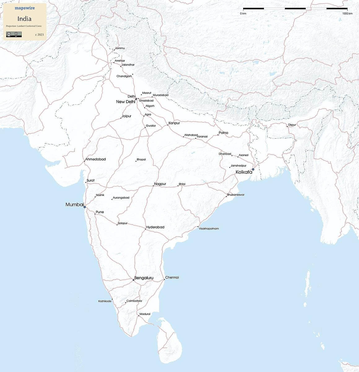
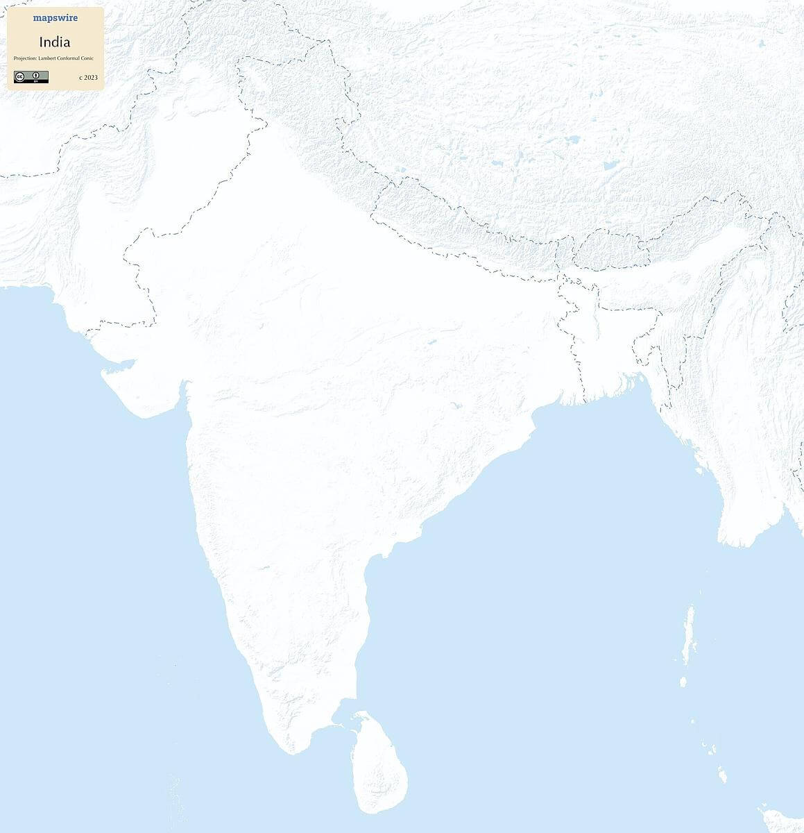
Physical Maps of India
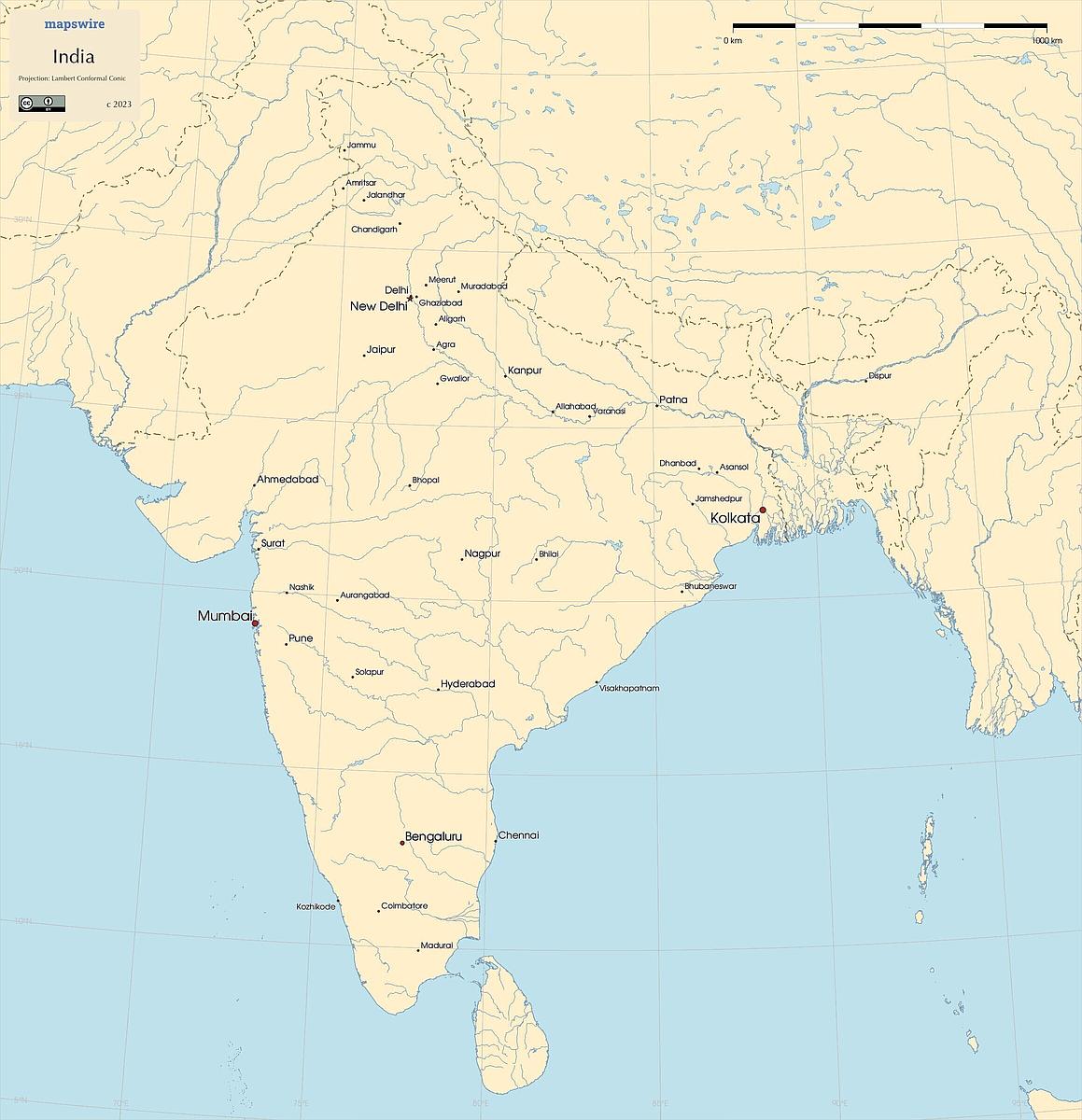
Printable Maps of India
Other Maps of India
Where is India located?
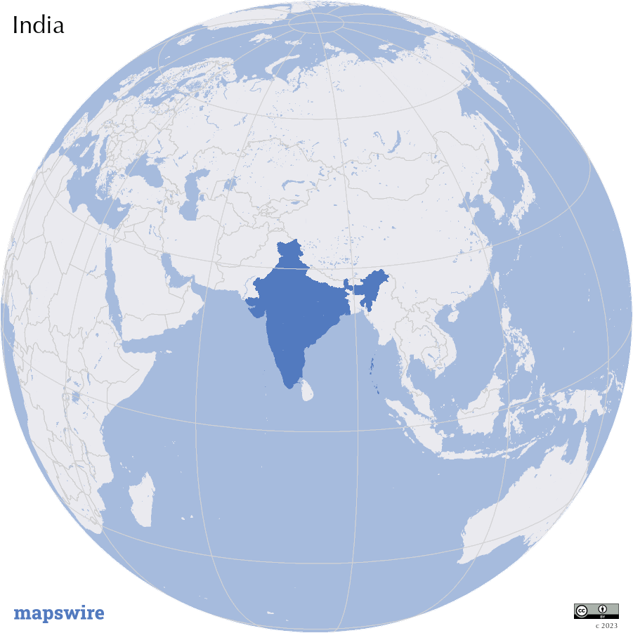
Location
Southern Asia, bordering the Arabian Sea and the Bay of Bengal, between Burma and Pakistan
Download