Free Maps of the United Kingdom
Download eight maps of the United Kingdom for free on this page. The maps are provided under a Creative Commons (CC-BY 4.0) license. Use the "Download" button to get the largest image available.
| Informations about the United Kingdom | |
|---|---|
| Name | United Kingdom of Great Britain and Northern Ireland; note - the island of Great Britain includes England, Scotland, and Wales |
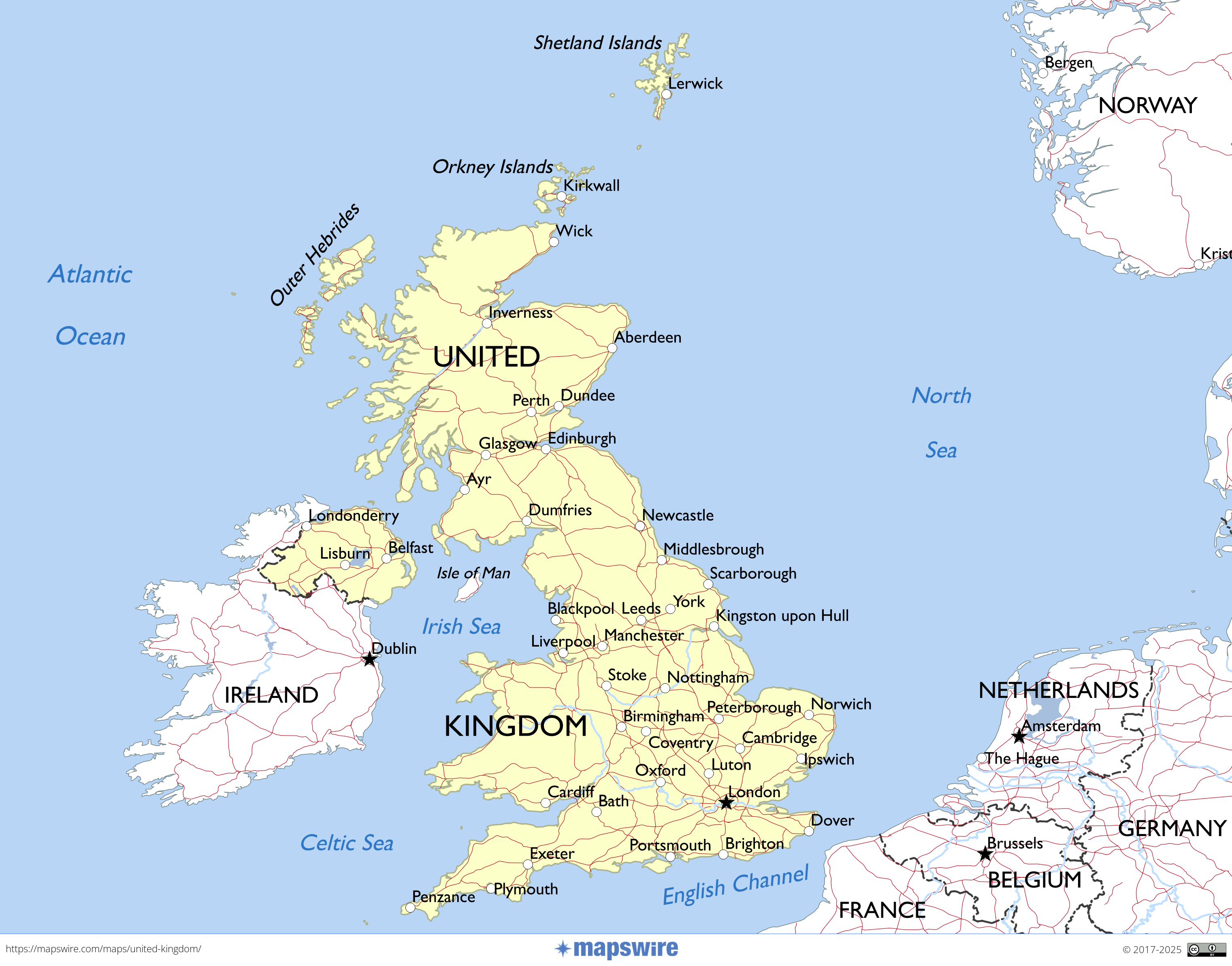
| Capital | London |
| National holiday | the UK does not celebrate one particular national holiday |
| Population | 67,791,400 |
| Continent | Europe |
| Subregion | Northern Europe |
| Border countries | Ireland 499 km |
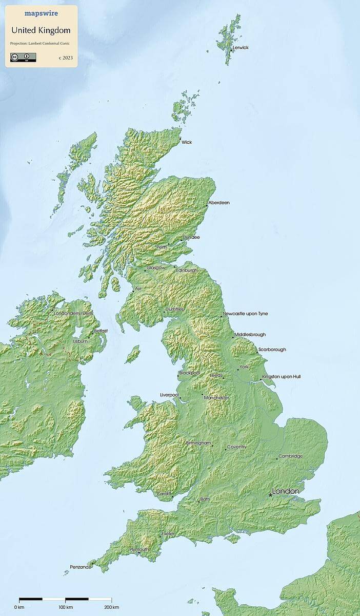
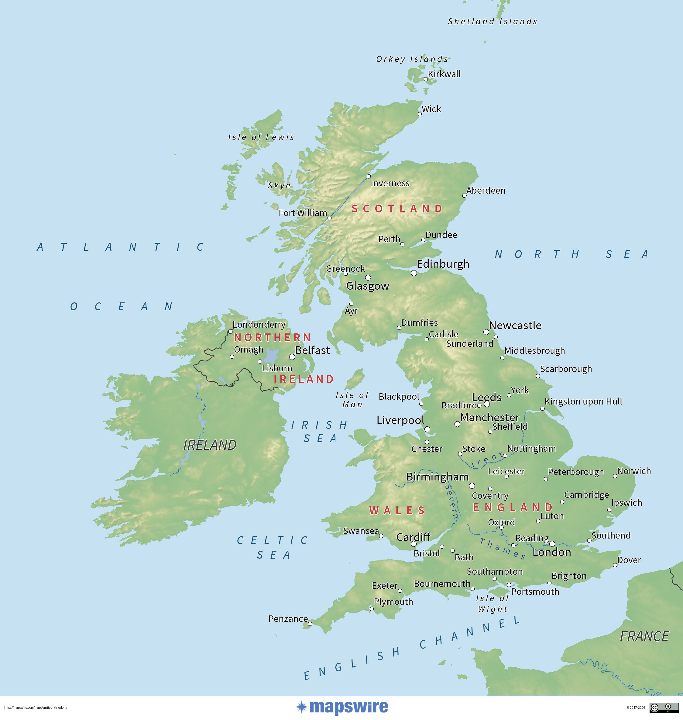
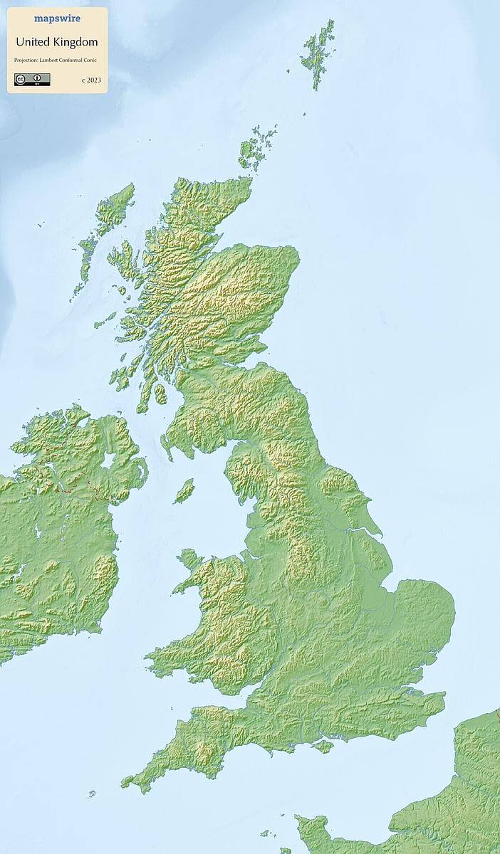
Physical Maps of the United Kingdom
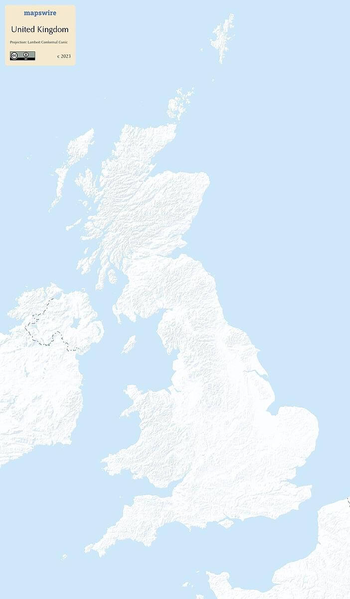
Printable Maps of the United Kingdom

Other Maps of the United Kingdom

Where is the United Kingdom located?
Location
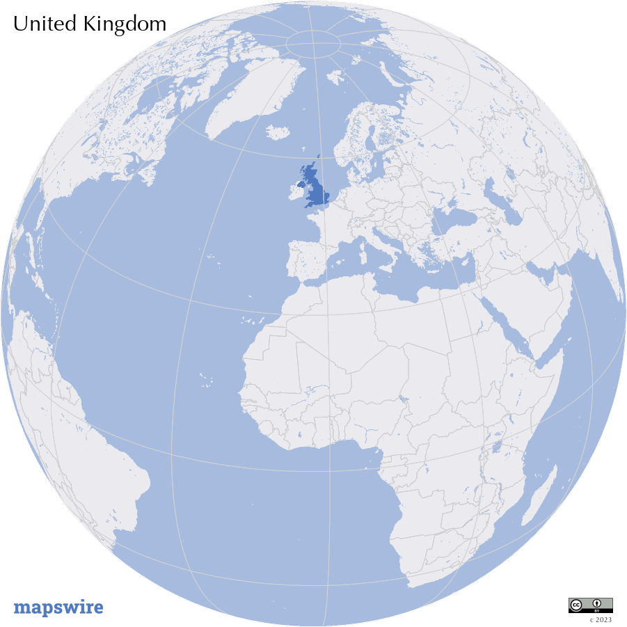
Western Europe, islands - including the northern one-sixth of the island of Ireland - between the North Atlantic Ocean and the North Sea; northwest of France
DownloadGeography of the United Kingdom
Mountain Ranges
The Scottish Highlands dominate the northern part of the United Kingdom, with peaks like Ben Nevis, the highest point in the UK. The Cambrian Mountains extend across parts of Wales, while the Pennines form a central upland spine between northern England and the Midlands.
Rivers
The River Thames flows through the heart of London, serving as a vital waterway. The River Severn is the longest river in the UK and runs through England and Wales. The River Clyde is prominent in Scotland, and the River Shannon is the longest river in Ireland.
Lowlands and Plains
The English Lowlands encompass much of southern England, including fertile areas like the East Anglian Plain. The Central Lowlands stretch across central Scotland, while the Irish Midlands feature rolling hills and plains.
Coastlines
The UK is surrounded by diverse coastlines. The North Sea Coast is characterized by sandy shores and cliffs, while the English Channel offers iconic white cliffs, such as the White Cliffs of Dover. The Irish Sea Coast is prominent in the west.
Islands
The British Isles include several significant islands. Great Britain is the largest, followed by Ireland, which is divided between Northern Ireland and the Republic of Ireland. Other notable islands include Isle of Man and various smaller isles.
Lakes
The largest lake in the UK is Loch Ness in Scotland, famous for the legendary Loch Ness Monster. Windermere is the largest lake in England, located in the Lake District.