Free Maps of Switzerland
Download five maps of Switzerland for free on this page. The maps are provided under a Creative Commons (CC-BY 4.0) license. Use the "Download" button to get the largest image available.
| Informations of Switzerland | |
|---|---|
| Name | Swiss Confederation |
| Capital | Bern |
| National holiday | Founding of the Swiss Confederation in 1291; note - since 1 August 1891 celebrated as Swiss National Day |
| Population | 8,508,698 |
| Continent | Europe |
| Subregion | Western Europe |
| Border countries | Austria 158 km; France 525 km; Italy 698 km; Liechtenstein 41 km; Germany 348 km |
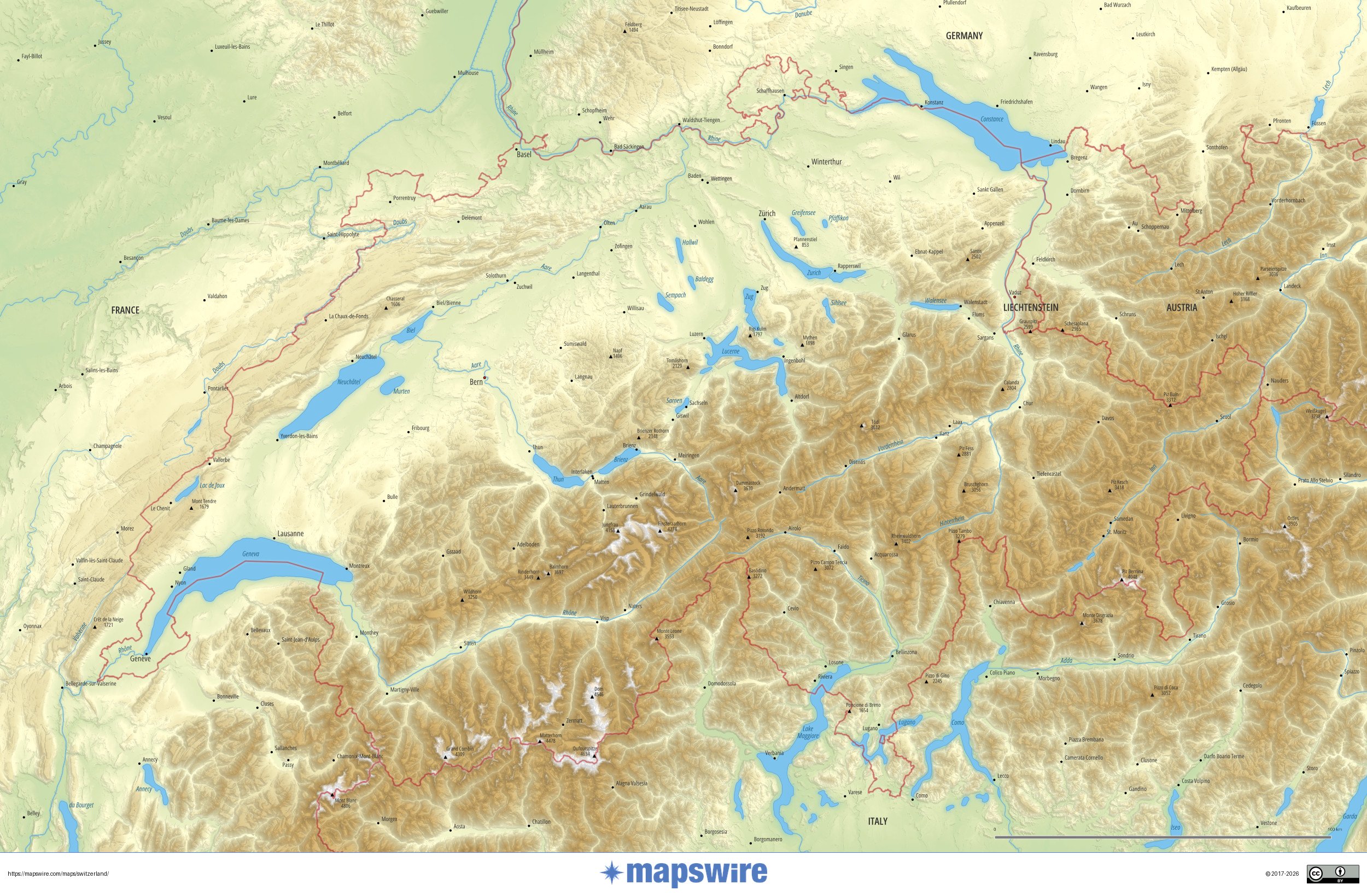
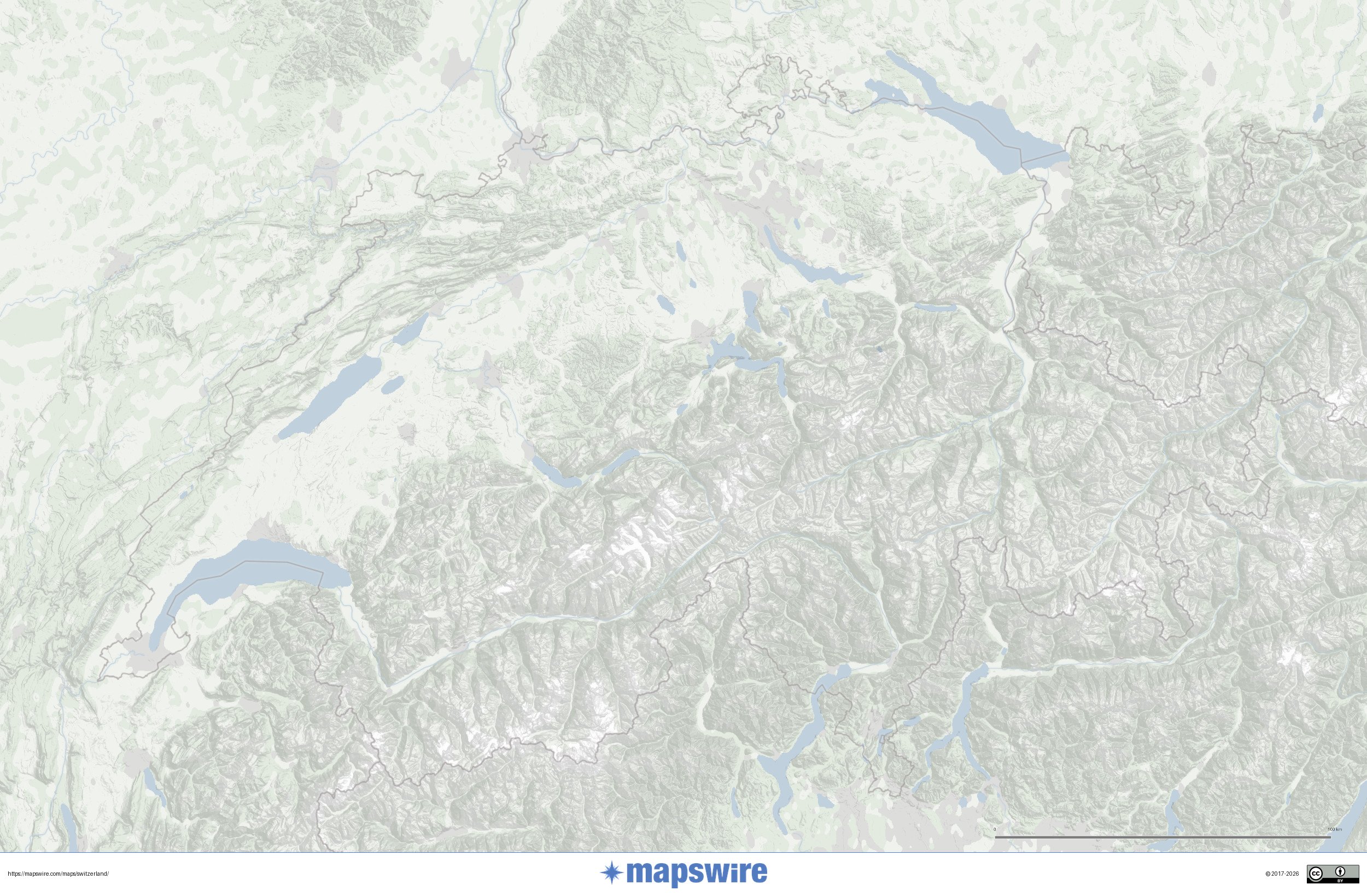
Physical Maps of Switzerland

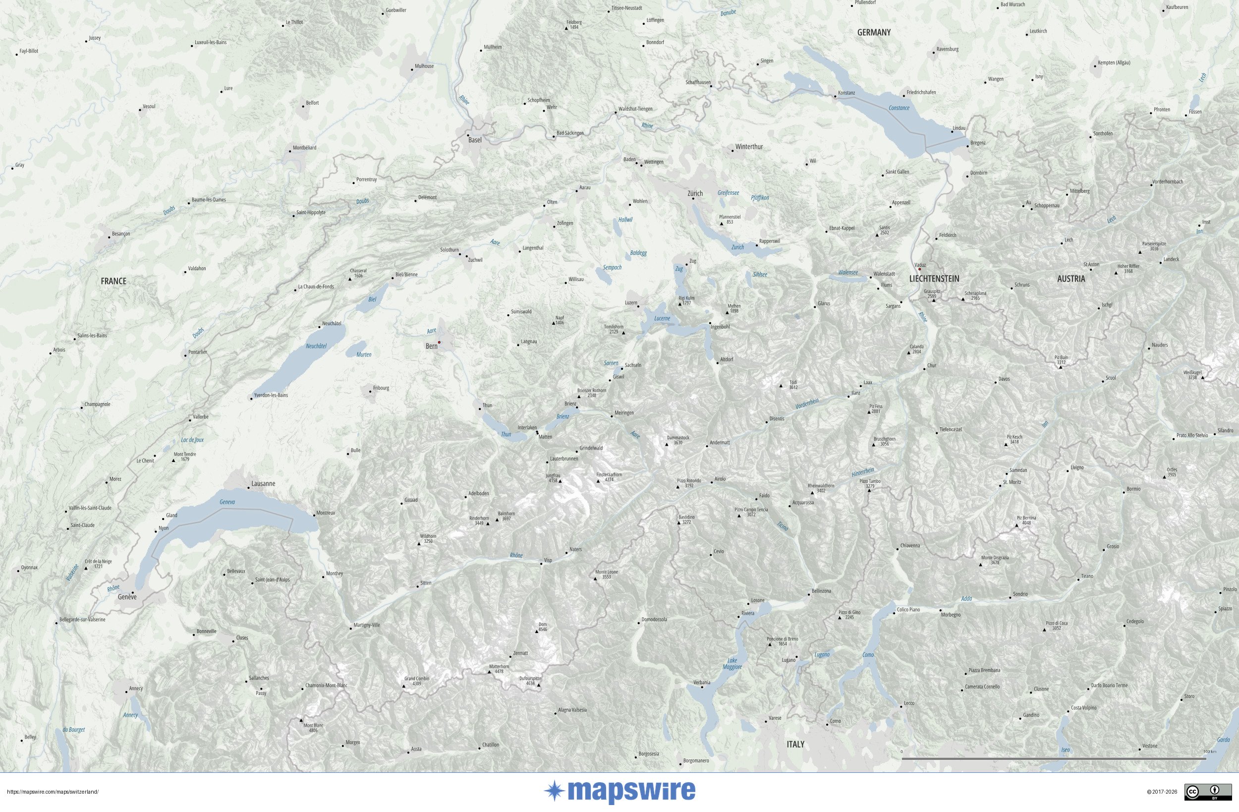
Landcover Maps of Switzerland
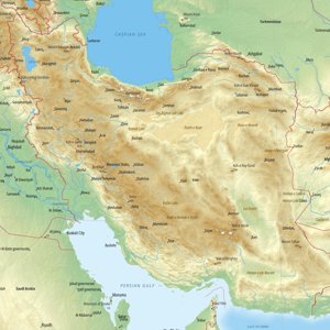
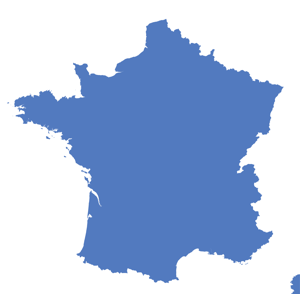
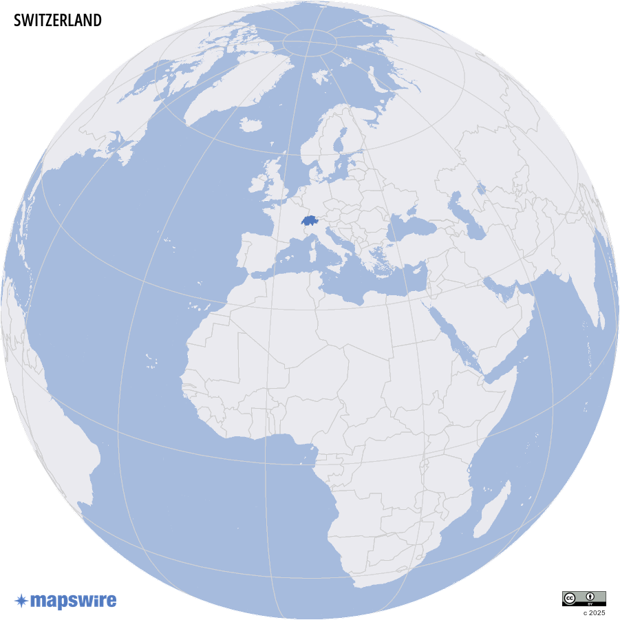
Where is Switzerland located?
Geography of Switzerland
Switzerland is a landlocked country in the heart of Central Europe, defined above all by its dramatic alpine landscape and dense network of rivers and lakes.
Major Mountain Ranges
The Alps dominate the southern two-thirds of the country, covering a vast portion of Swiss territory. This is where some of the highest peaks in Europe rise, including the Dufourspitze (4,634 m), the highest point in Switzerland and the second-highest in the Alps overall. The iconic Matterhorn (4,478 m) near Zermatt is perhaps the most recognizable mountain silhouette in the world. The Eiger, Mönch, and Jungfrau form another legendary trio in the Bernese Oberland. To the northwest, the lower Jura Mountains run along the French border, while the relatively flat and hilly Swiss Plateau (Mittelland) stretches between the Alps and the Jura, and is where most of the population lives.
Rivers and Waterways
Switzerland is often called the "water tower of Europe" — four of Europe's major rivers have their sources here. The Rhine rises in the eastern Alps and flows north and west, forming much of the northern border with Germany. The Rhône originates near the Rhône Glacier and flows westward through the Valais before entering Lake Geneva. The Inn drains the Engadin valley into the Danube system, and the Ticino flows south into the Po in Italy. The Aare, the longest river entirely within Switzerland, runs through Bern and joins the Rhine near Koblenz.
Lakes
Switzerland has numerous beautiful lakes, most of them formed by glacial activity. Lake Geneva (Lac Léman) on the French border is the largest in Western Europe. Lake Constance (Bodensee) sits at the meeting point of Switzerland, Germany, and Austria. Lake Lucerne, with its irregular, fjord-like shape, lies in the very center of the country. Other notable lakes include Lake Zurich, Lake Neuchâtel (the largest lake entirely within Switzerland), Lake Thun, and Lake Brienz.
Coastlines and Islands
Switzerland is entirely landlocked and has no coastline or sea access. However, it does maintain a small merchant fleet on the Rhine, which connects Basel to the North Sea — a vital trade route.
Cities
Zurich is the largest city and the country's financial and economic hub. Geneva in the southwest is a global center for diplomacy and hosts dozens of international organizations including UN agencies and the Red Cross. Basel sits at the meeting point of Switzerland, France, and Germany, and is renowned for its pharmaceutical industry and art scene. Bern is the federal capital, situated on a peninsula in the Aare river. Lausanne on the shores of Lake Geneva is home to the International Olympic Committee.
Special Features
The St. Gotthard Massif deserves special mention as the hydrographic center of Europe — from this single mountain massif, water drains into four different seas: the North Sea, the Mediterranean, the Adriatic, and the Black Sea. The St. Gotthard Base Tunnel, completed in 2016, runs beneath it and is the world's longest railway tunnel at 57 km. Switzerland also contains numerous glaciers, most notably the Aletsch Glacier, the largest glacier in the Alps and a UNESCO World Heritage Site, stretching over 23 km through the Bernese Alps.