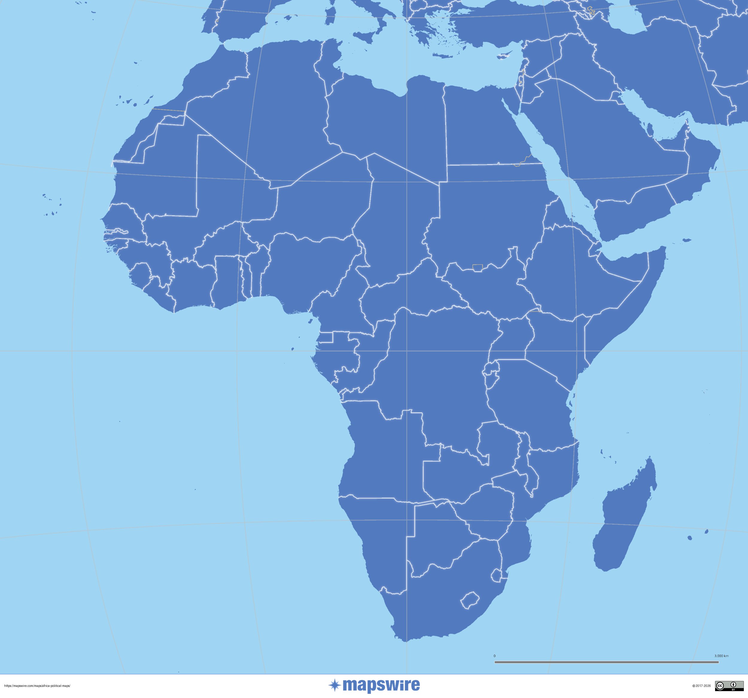
Political Maps of Africa
Download three maps of Africa for free on this page. The maps are provided under a Creative Commons (CC-BY 4.0) license. Use the "Download" button to get the largest image available.
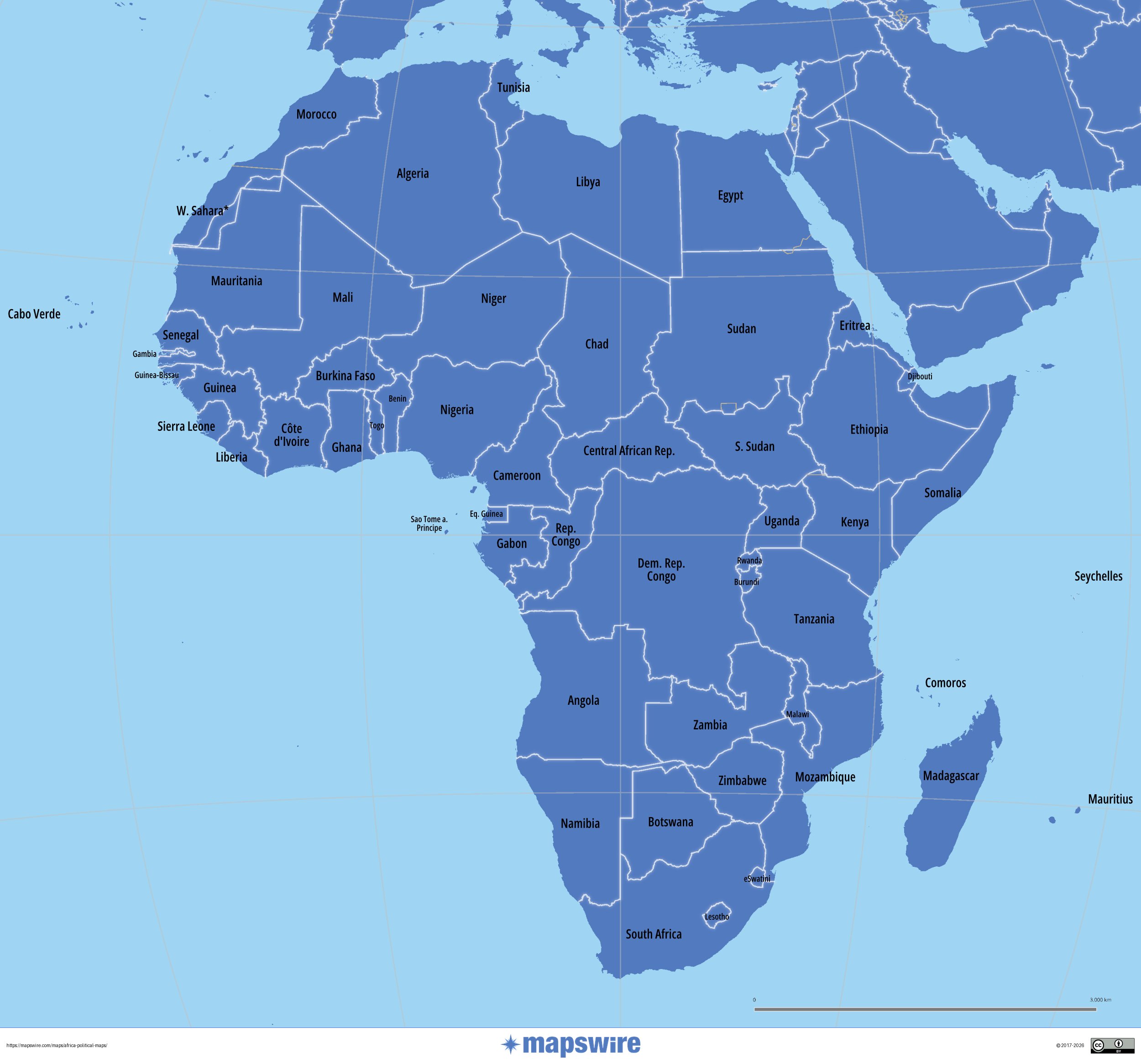
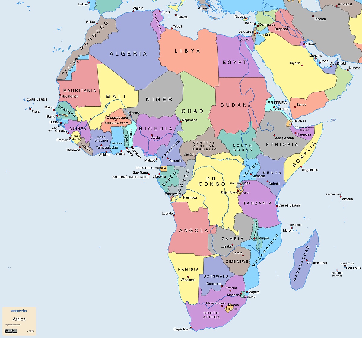
This political map shows all African countries with its borders and the biggest cities.