Free Maps of Ukraine
Download seven maps of Ukraine for free on this page. The maps are provided under a Creative Commons (CC-BY 4.0) license. Use the "Download" button to get the largest image available.
| Informations of Ukraine | |
|---|---|
| Name | Ukraine |
| Capital | Kyiv (Kiev) |
| National holiday | Independence Day, 24 August (1991); note - 22 January 1918, the day Ukraine first declared its independence from Soviet Russia, and the date the short-lived Western and Greater (Eastern) Ukrainian republics united (1919), is now celebrated as Unity Day |
| Population | 43,528,136 |
| Continent | Europe |
| Subregion | Eastern Europe |
| Border countries | Belarus 1,111 km; Hungary 128 km; Moldova 1,202 km; Poland 498 km; Romania 601 km; Russia 1,944 km, Slovakia 97 km |
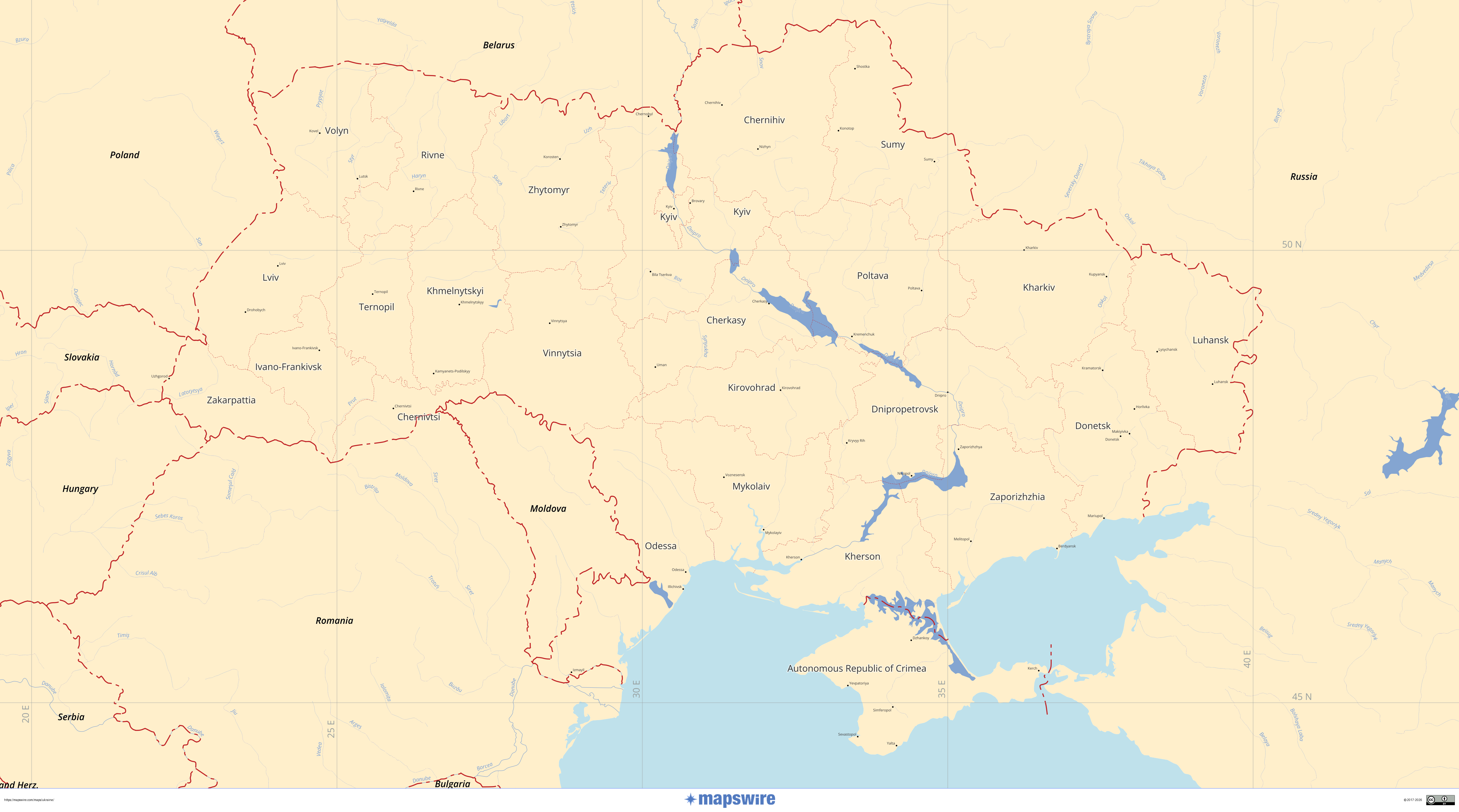
Political Maps of Ukraine
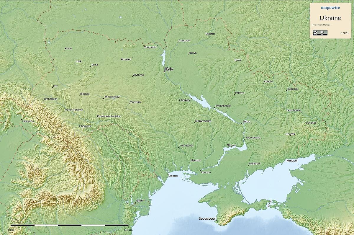
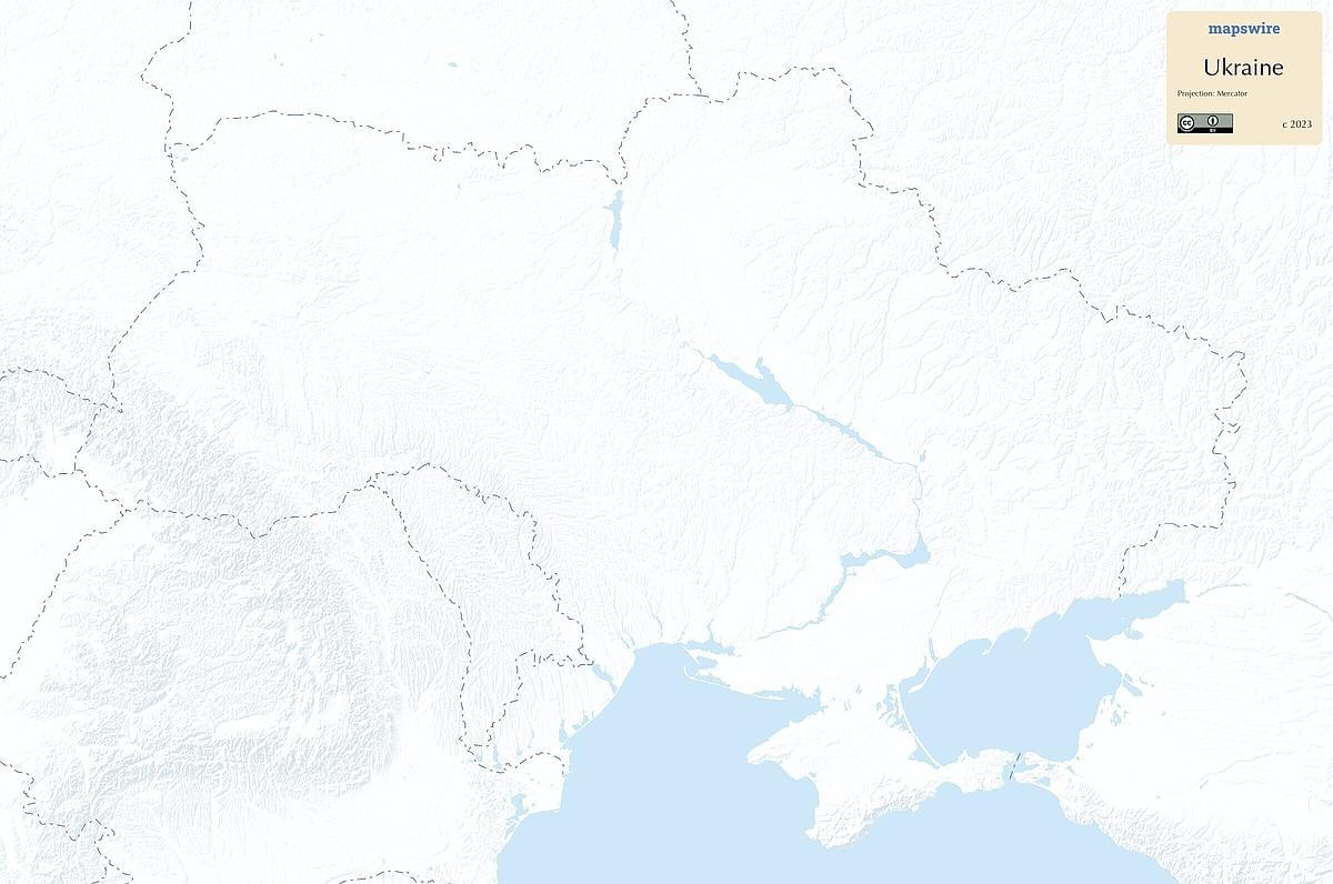
Physical Maps of Ukraine

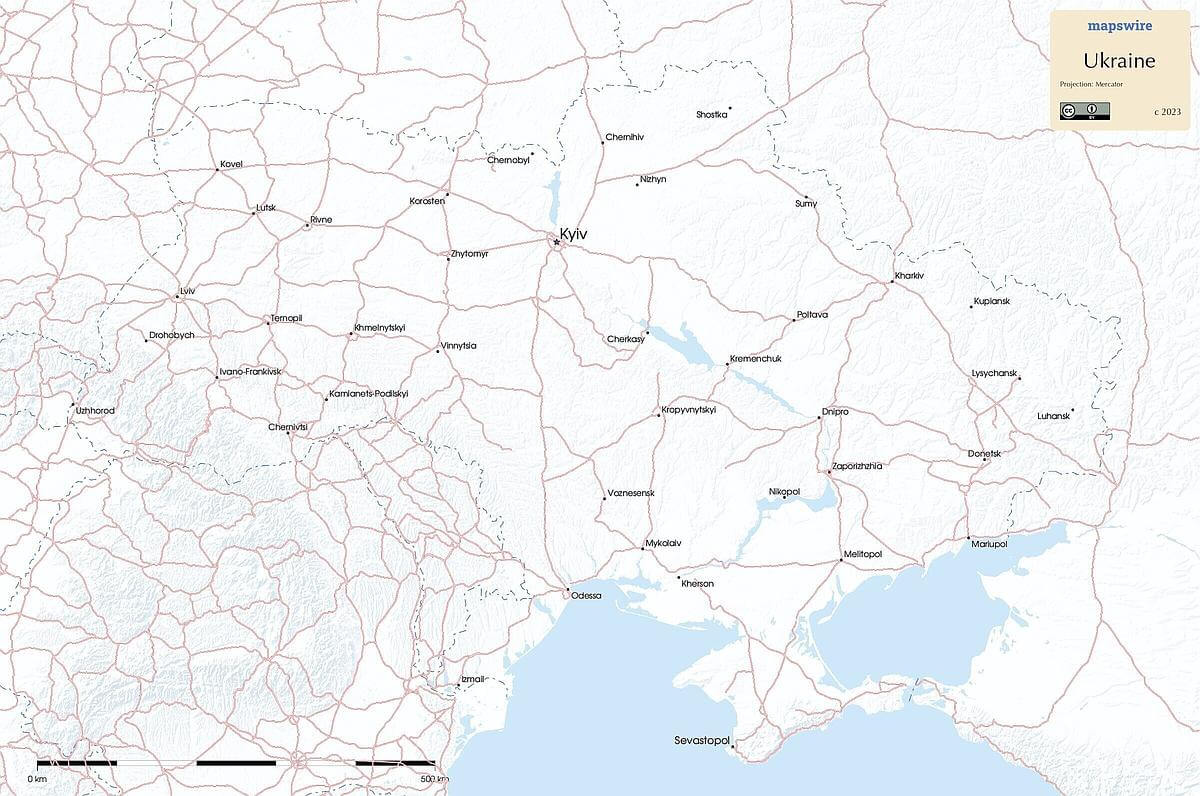
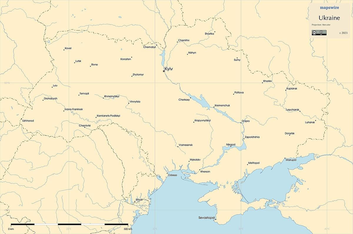
Printable Maps of Ukraine
Other Maps of Ukraine
Where is Ukraine located?
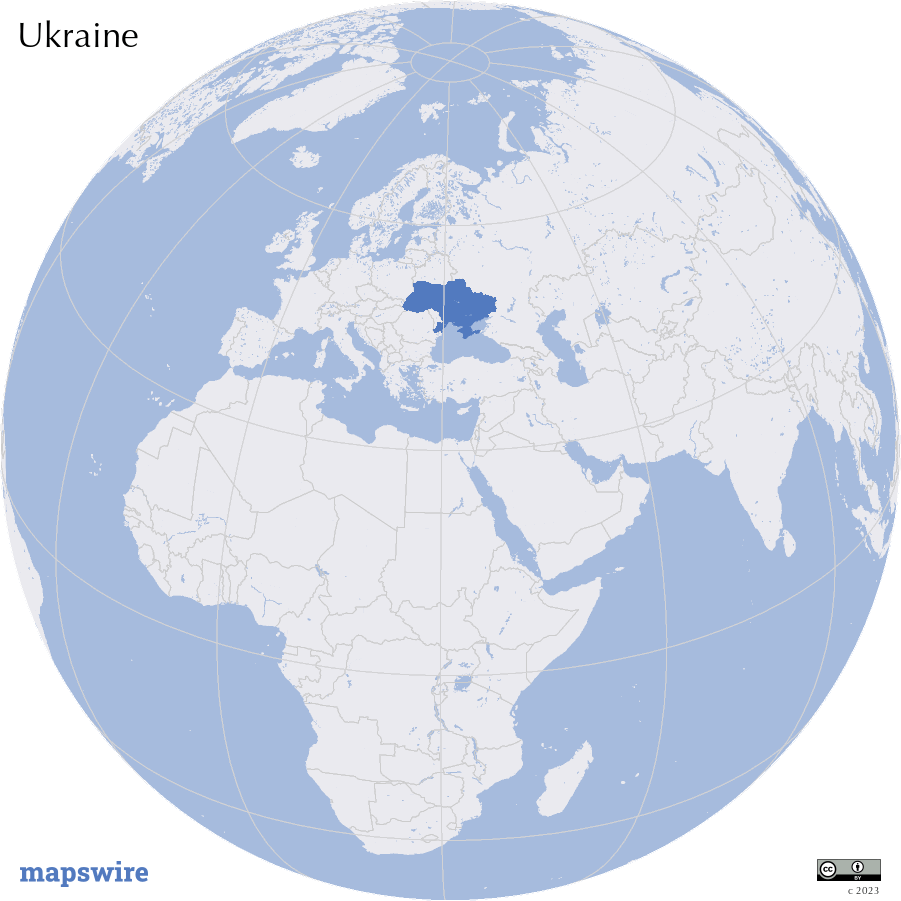
Location
Eastern Europe, bordering the Black Sea, between Poland, Romania, and Moldova in the west and Russia in the east
Download