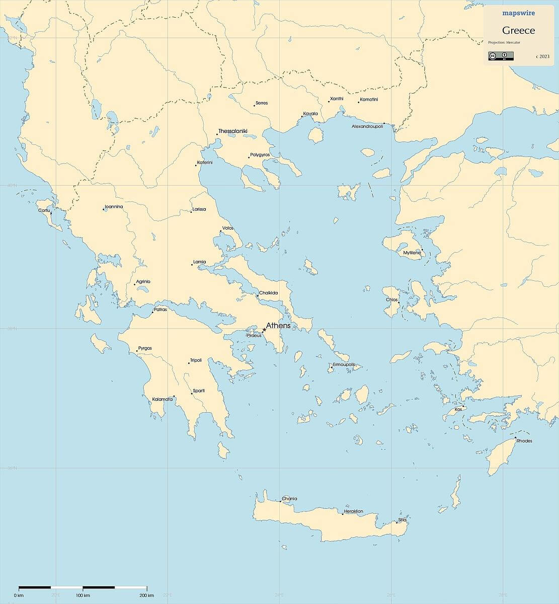
Free Maps of Greece
Download six maps of Greece for free on this page. The maps are provided under a Creative Commons (CC-BY 4.0) license. Use the "Download" button to get the largest image available.
| Informations of Greece | |
|---|---|
| Name | Hellenic Republic |
| Capital | Athens |
| National holiday | Independence Day, 25 March (1821) |
| Population | 10,533,871 |
| Continent | Europe |
| Subregion | Southern Europe |
| Border countries | Albania 212 km; Bulgaria 472 km; North Macedonia 234 km; Turkey 192 km |
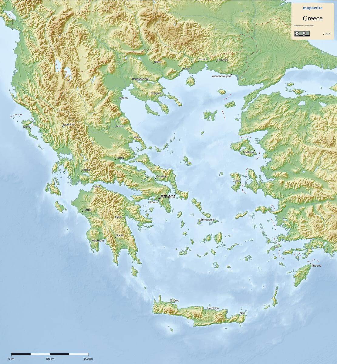
Physical Maps of Greece

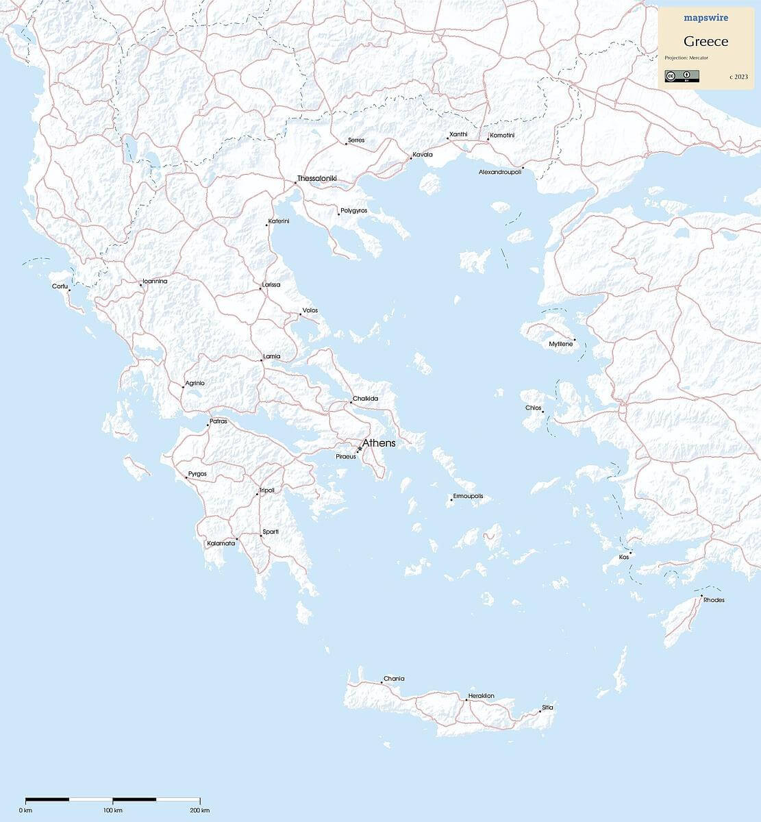
Printable Maps of Greece
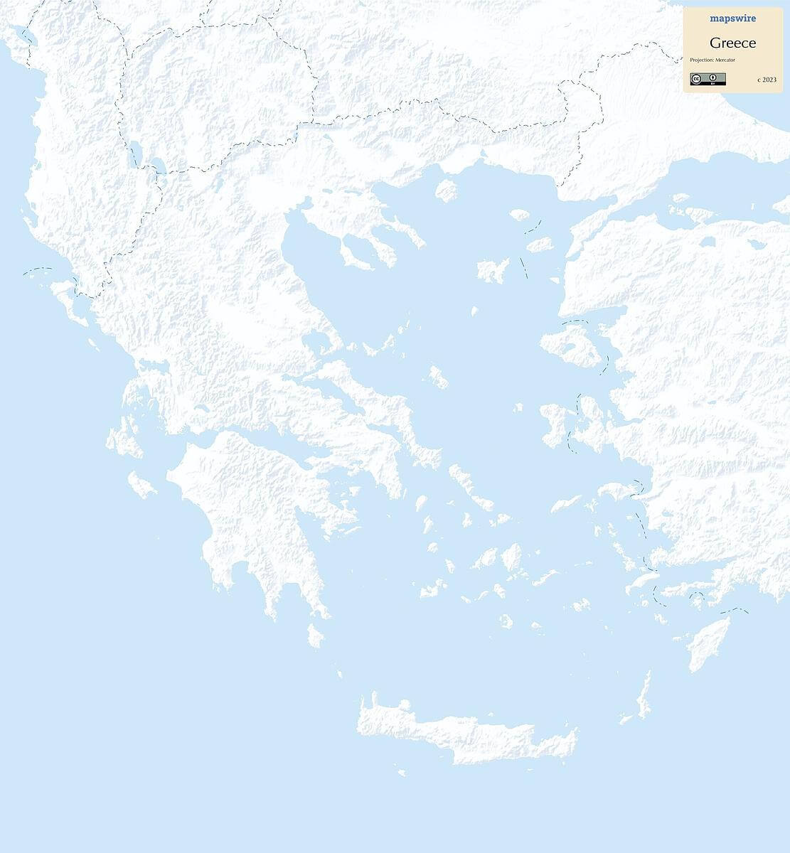
Other Maps of Greece
Where is Greece located?
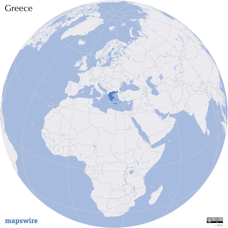
Location
Southern Europe, bordering the Aegean Sea, Ionian Sea, and the Mediterranean Sea, between Albania and Turkey
Download