Free Maps of Tanzania
Download six maps of Tanzania for free on this page. The maps are provided under a Creative Commons (CC-BY 4.0) license. Use the "Download" button to get the largest image available.
| Informations of Tanzania | |
|---|---|
| Name | United Republic of Tanzania |
| Capital | Dar es Salaam (de facto administrative capital), Dodoma (national capital); note - Dodoma, designated the national capital in 1996, serves as the meeting place for the National Assembly and is thus the legislative capital; Dar es Salaam (the original national capital) remains the de facto capital, the country's largest city and commercial center, and the site of the executive branch offices and diplomatic representation |
| National holiday | Union Day (Tanganyika and Zanzibar), 26 April (1964) |
| Population | 63,852,892 |
| Continent | Africa |
| Subregion | Eastern Africa |
| Border countries | Burundi 589 km; Democratic Republic of the Congo 479 km; Kenya 775 km; Malawi 512 km; Mozambique 840 km; Rwanda 222 km; Uganda 391 km; Zambia 353 km |
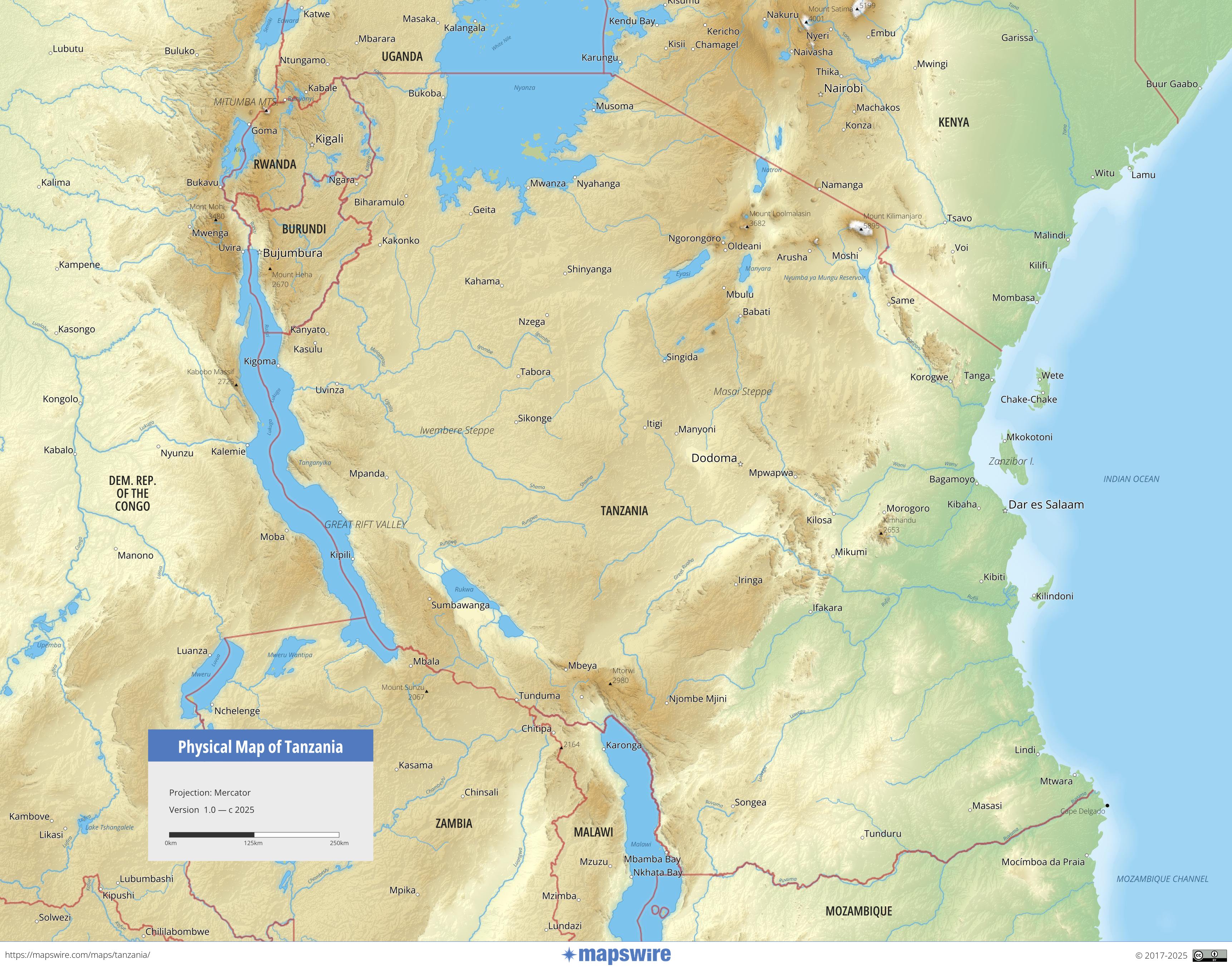
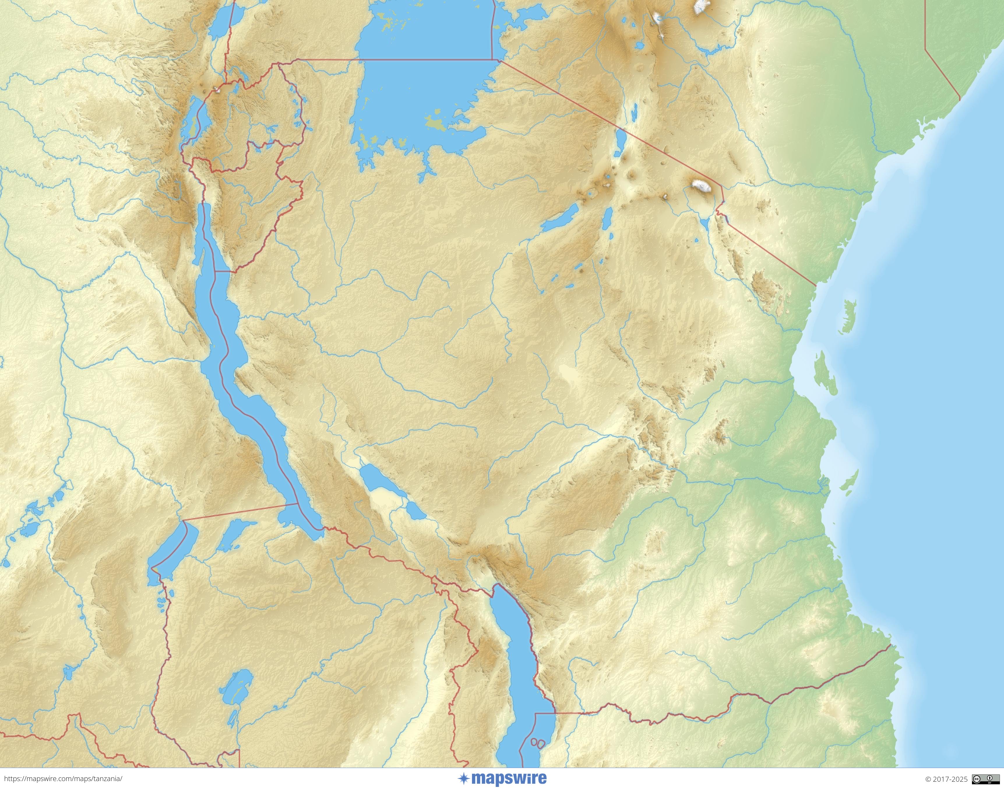
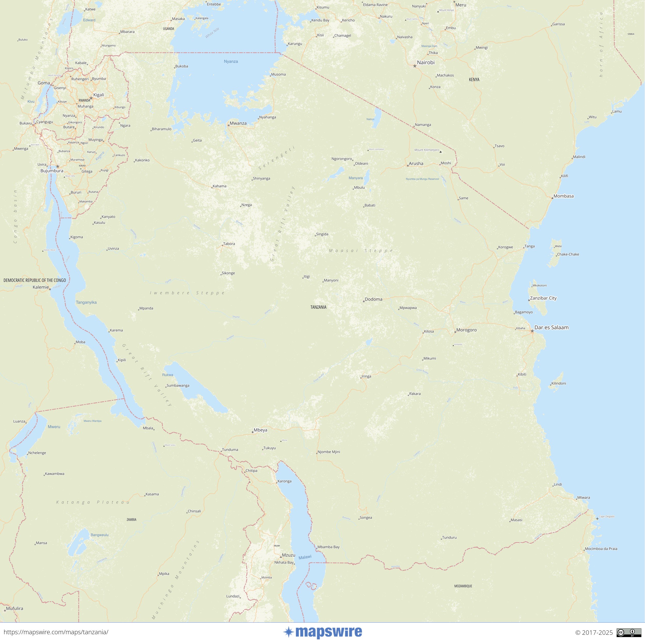
Physical Maps of Tanzania
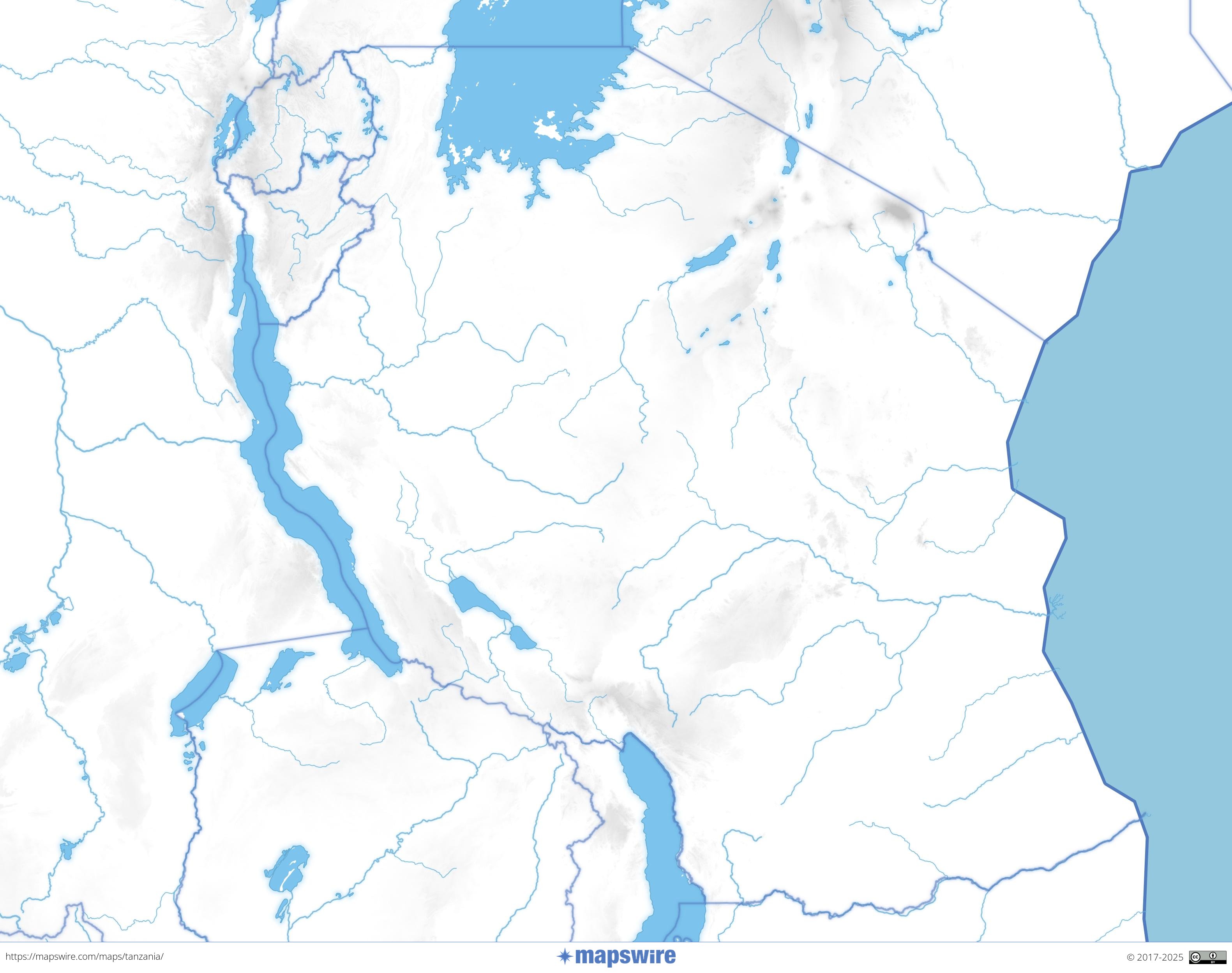
Landcover Maps of Tanzania
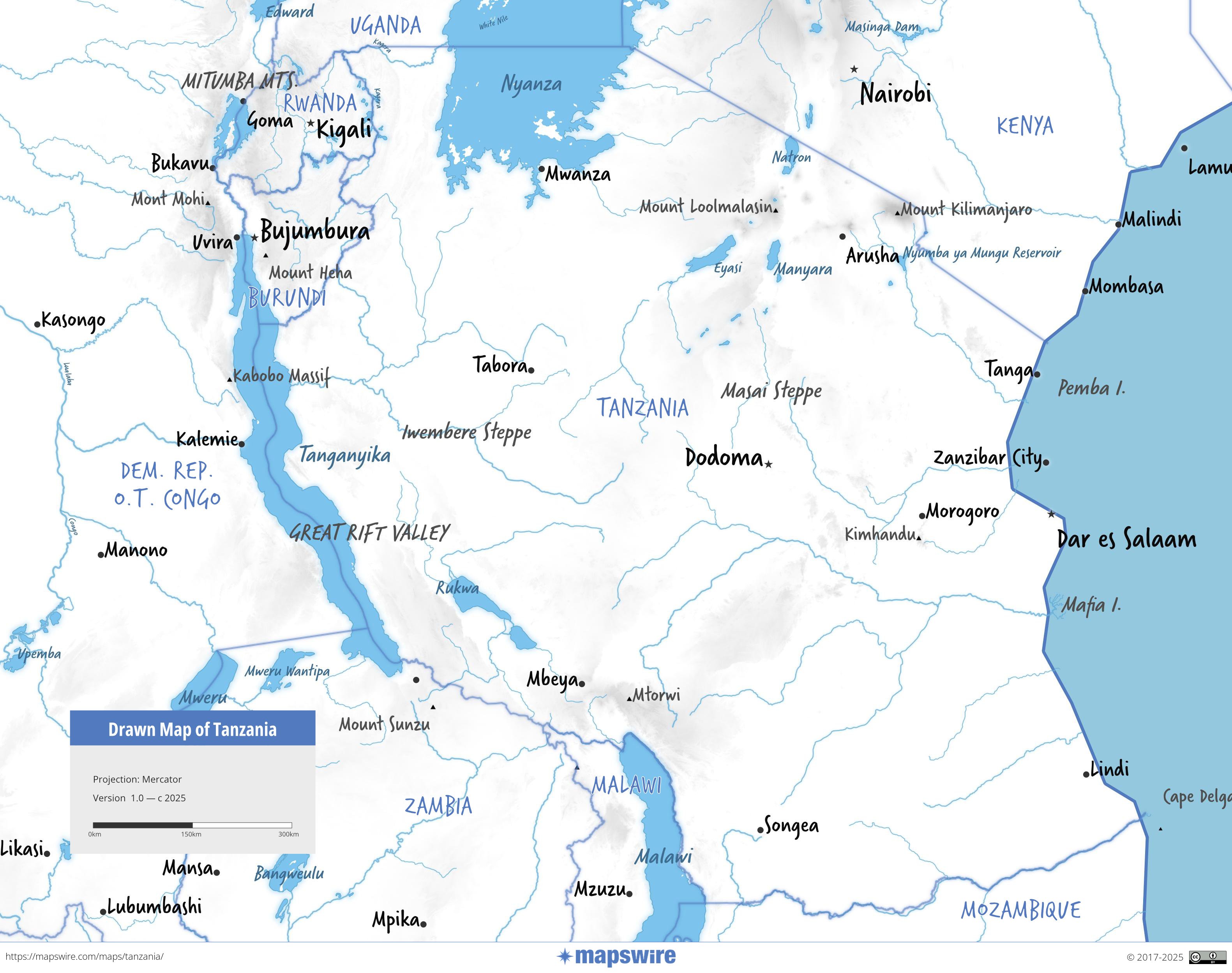
Other Maps of Tanzania
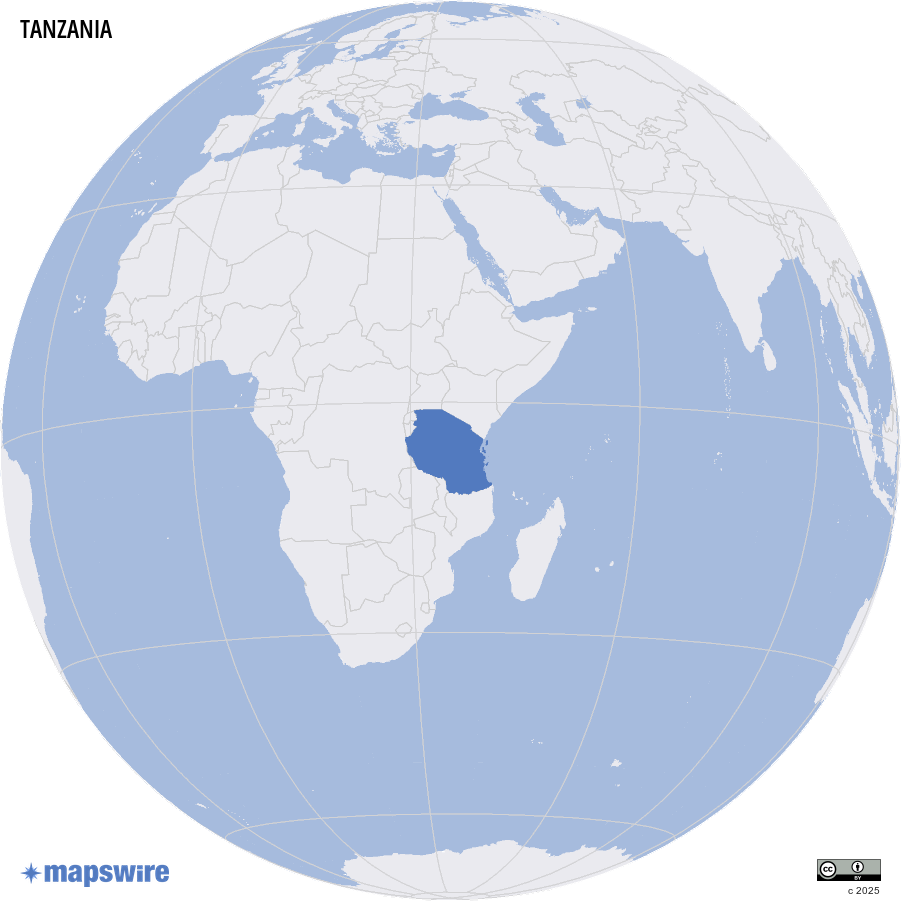
Where is Tanzania located?